UN/LOCODE hub · Thailand
THMEK

Mae Klong

13.3667°, 99.9833°
1
Transport functions

Transport Functions

Port
UN/LOCODE

Hub Profile

Region
75
GeoNames

Location

Location of THMEK
Natural Earth 10m (public domain) · 75 · THMEK · 13.37, 99.98GoogleOSMYandex

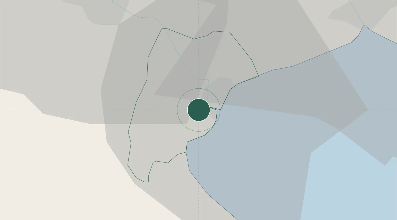
Nearby Logistics Neighbours

Cities
  1. 1Ratchaburi27 km
  2. 2Phet Buri30 km
  3. 3Ban Laem31 km
  4. 4Photharam38 km
  5. 5Ekachai Container Terminal43 km
Nearest neighbours — logibook spatial index (haversine) over the source coordinates
Ports
  1. 1Bangkok70 km
  2. 2Ko Si Chang Terminal93 km
  3. 3Siam Seaport101 km
  4. 4Laem Chabang102 km
  5. 5Si Racha Terminal103 km
Nearest neighbours — logibook spatial index (haversine) over the source coordinates
Airports
  1. 1Hua Hin Airport81 km
  2. 2Kamphaeng Saen Airport82 km
  3. 3Suvarnabhumi Airport90 km
  4. 4Don Mueang International Airport91 km
  5. 5U-Tapao–Rayong–Pattaya International Airport135 km
Nearest neighbours — logibook spatial index (haversine) over the source coordinates
Trade Zones
  1. 1Ratchaburi Industrial Estate, Rie26 km
  2. 2Khao Yoi Industrial Park28 km
  3. 3Samut Sakhon Industrial Estate33 km
  4. 4Ratchaburi Industrial Estate35 km
  5. 5Maharajnakorn Industrial Estate37 km
Nearest neighbours — logibook spatial index (haversine) over the source coordinates
DatabookThe Record of Consolidated Knowledge
Thailand beyond logistics?
Browse databook

All Sources

LocationsUN/LOCODE
UN/LOCODE — free
Portsthe NGA World Port Index
Public domain (US gov)
AirportsOurAirports
Public domain
Trade Zonesthe World Bank SEZ database
CC BY 4.0
Trade ZonesOpen Zone Map
CC BY
← Thailand locations