General Industrial Estate · Thailand

Samut Sakhon Industrial Estate Active
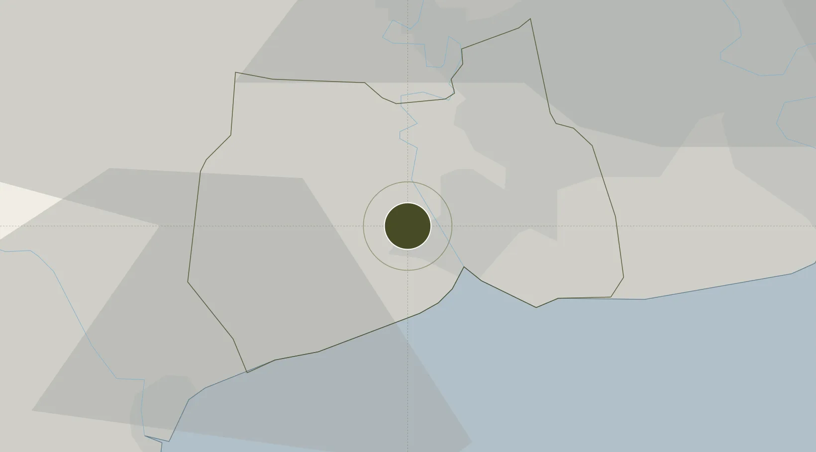
13.5520°, 100.2268°
232 ha
Zone area
36.8 km
Nearest port
57.4 km
Nearest airport

Gateway access

Nearest neighbours — logibook spatial index (haversine) over the source coordinates

Zone profile

Zone type
General Industrial Estate
the World Bank SEZ database
Region
Samut Sakhon
the World Bank SEZ database
Status
Active
the World Bank SEZ database
Established
1990
the World Bank SEZ database
Management
Public agency
the World Bank SEZ database
Operator
Industrial Estate Authority of Thailand
the World Bank SEZ database
Regulatory authority
Industrial Estate Authority of Thailand
the World Bank SEZ database
Legal framework
Industrial Estate Authority of Thailand Act
the World Bank SEZ database

Location

Location of THA27
Natural Earth 10m (public domain) · Samut Sakhon · THA27 · 13.55, 100.23GoogleOSMYandex

Fiscal & incentives

Corporate tax
20%
the World Bank SEZ database
Tax relief
No exemption
the World Bank SEZ database
Relief duration
No exemption
the World Bank SEZ database
VAT
No exemption
the World Bank SEZ database
Import duty (inputs)
0% exempt
the World Bank SEZ database
Import duty (capex)
0% exempt
the World Bank SEZ database
Profit repatriation
No exemption
the World Bank SEZ database
Capital gains
No exemption
the World Bank SEZ database
Withholding tax
No exemption
the World Bank SEZ database
Min. investment
None
the World Bank SEZ database
Min. export
0%
the World Bank SEZ database
Employment incentive
No exemption
the World Bank SEZ database
Developer incentive
No established framework
the World Bank SEZ database

Nearby Logistics Neighbours

Ports
  1. 1Bangkok37 km
  2. 2Ko Si Chang Terminal77 km
  3. 3Siam Seaport85 km
  4. 4Si Racha Terminal86 km
  5. 5Laem Chabang88 km
Nearest neighbours — logibook spatial index (haversine) over the source coordinates
Airports
  1. 1Don Mueang International Airport57 km
  2. 2Suvarnabhumi Airport58 km
  3. 3Kamphaeng Saen Airport70 km
  4. 4Hua Hin Airport106 km
  5. 5U-Tapao–Rayong–Pattaya International Airport129 km
Nearest neighbours — logibook spatial index (haversine) over the source coordinates
Cities
  1. 1Samut Sakhon, Changwat10 km
  2. 2Ekachai Container Terminal10 km
  3. 3Bangsu28 km
  4. 4Mae Klong33 km
  5. 5Sahathai Coastal Seaport35 km
Nearest neighbours — logibook spatial index (haversine) over the source coordinates
Trade Zones
  1. 1Maharajnakorn Industrial Estate5 km
  2. 2Sinsakhon Industrial Estate12 km
  3. 3Kantana Movie Town35 km
  4. 4Nakhon Phanom Special Economic Zone36 km
  5. 5Eastern Economic Corridor36 km
Nearest neighbours — logibook spatial index (haversine) over the source coordinates
DatabookThe Record of Consolidated Knowledge
Thailand beyond logistics?
Browse databook

All Sources

Trade Zonesthe World Bank SEZ database
CC BY 4.0
Portsthe NGA World Port Index
Public domain (US gov)
AirportsOurAirports
Public domain
LocationsUN/LOCODE
UN/LOCODE — free
← Thailand trade zones