Medium airport · Thailand
Hua Hin AirportVTPH
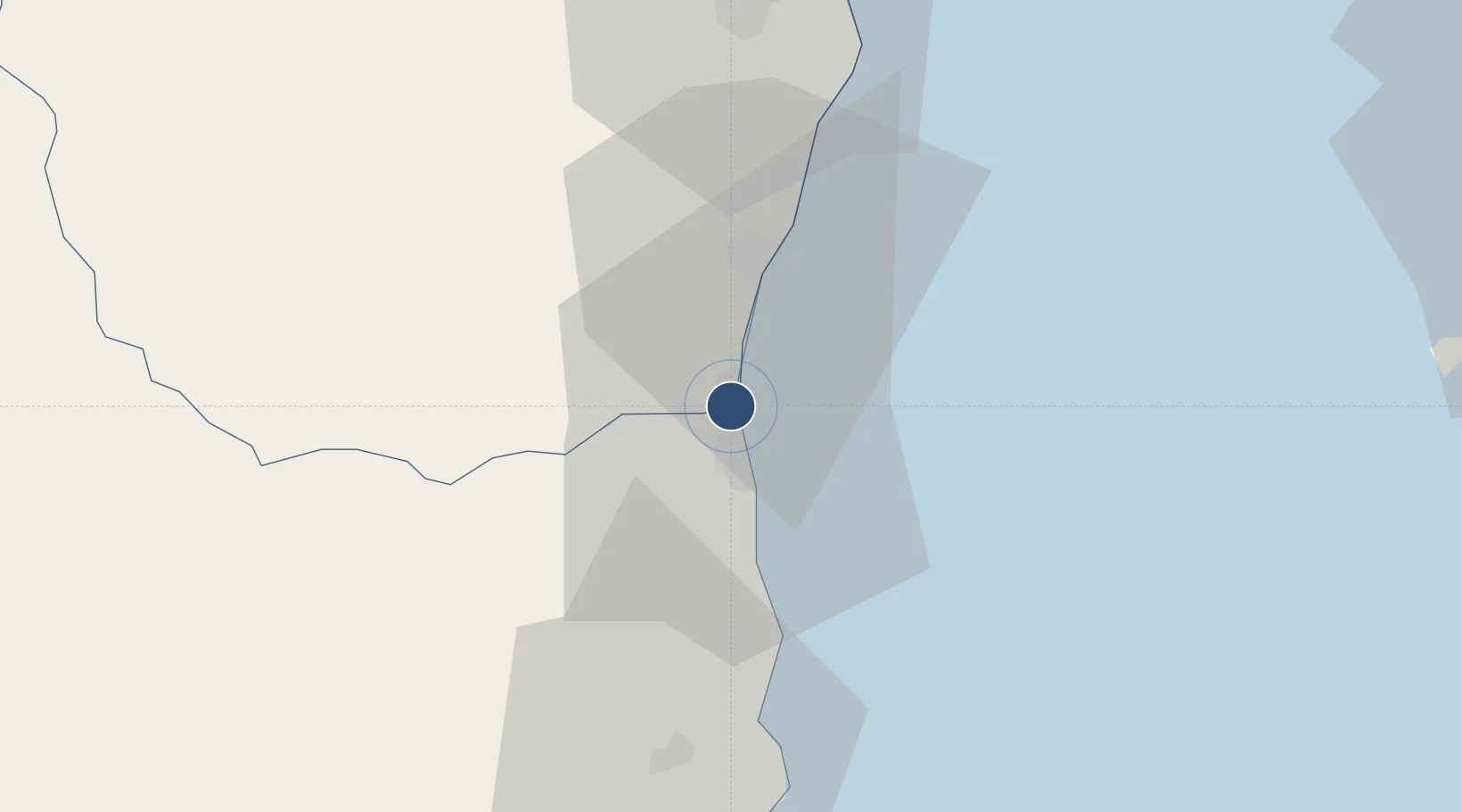
12.6362°, 99.9515°
6,890 ft
Longest runway
1
Runways
62 ft
Elevation
Runway & Layout

Radio Frequencies
ATIS
21.3 MHz
TWR
122.7 MHz
GND
121.9 MHz
APP
126.2 MHz
Navaids
HHN VOR-DME Hua Hin 113.30 MHz
HN NDB Hua Hin 213 kHz
Runways · 1
| Runway | Dimensions | Surface | True heading | Lit |
|---|---|---|---|---|
| 16/34 | 6,890 × 115ft | Asphalt | 160° | ✓ |
Airport Specifications
IATA code
HHQ
ICAO code
VTPH
Airport class
Medium airport
Scheduled service
Yes
Runway surface
Asphalt
Served city
Hua Hin
Location
Nearby Logistics Neighbours
Airports
- 1U-Tapao–Rayong–Pattaya International Airport114 km
- 2Suvarnabhumi Airport145 km
- 3Myeik Airport146 km
- 4Don Mueang International Airport159 km
- 5Kamphaeng Saen Airport163 km
Cities
- 1Phet Buri52 km
- 2Ban Laem56 km
- 3Mae Klong81 km
- 4Tungprong Pt96 km
- 5Ratchaburi101 km
Ports
- 1Sattahip105 km
- 2Ko Si Chang Terminal111 km
- 3Laem Chabang113 km
- 4Siam Seaport115 km
- 5Si Racha Terminal120 km
Trade Zones
DatabookThe Record of Consolidated Knowledge
Thailand beyond logistics?