Transport Functions
Port
Rail
Road
Hub Profile
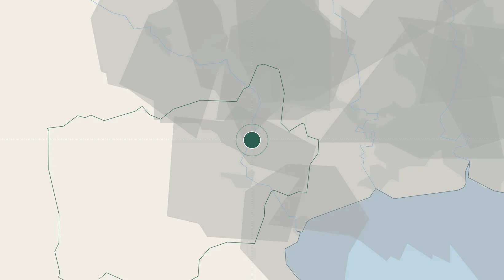
Place type
Provincial seat
Region
Ratchaburi
Population
36,248
Time zone
Asia/Bangkok
Elevation
12 m
Location
Nearby Logistics Neighbours
Cities
- 1Ban Pong13 km
- 2Ratchaburi18 km
- 3Mae Klong38 km
- 4Bangsu42 km
- 5Samut Sakhon, Changwat48 km
Ports
- 1Bangkok71 km
- 2Ko Si Chang Terminal119 km
- 3Siam Seaport127 km
- 4Si Racha Terminal129 km
- 5Laem Chabang130 km
Airports
- 1Kamphaeng Saen Airport47 km
- 2Don Mueang International Airport86 km
- 3Suvarnabhumi Airport97 km
- 4Hua Hin Airport117 km
- 5Khok Kathiam Airport159 km
Trade Zones
DatabookThe Record of Consolidated Knowledge
Thailand beyond logistics?