Large airport · Thailand

U-Tapao–Rayong–Pattaya International AirportVTBU
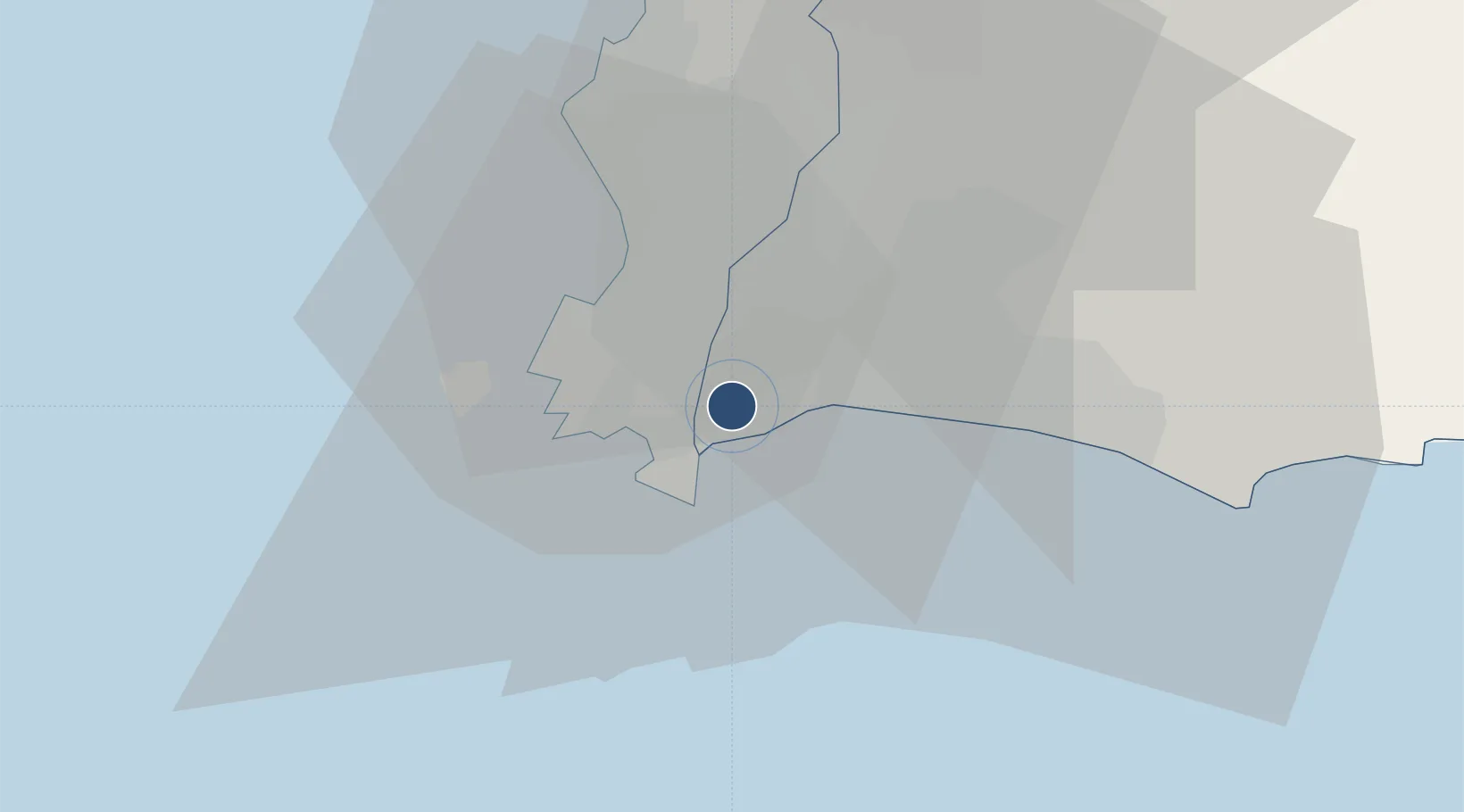
12.6799°, 101.0050°
11,500 ft
Longest runway
1
Runways
42 ft
Elevation

Runway & Layout

U-Tapao–Rayong–Pattaya International Airport runway & taxiway layout
Runway & taxiway layout — OpenStreetMap (ODbL) / OurAirports

Radio Frequencies

TWR
118.3 MHz
GND
121.9 MHz
APP
119.7 MHz
OurAirports

Navaids

BUT TACAN U Taphao 115.80 MHz
BUT VOR-DME U Taphao 110.80 MHz
UP NDB U Taphao 414 kHz
OurAirports

Runways · 1

RunwayDimensions SurfaceTrue headingLit
18/36 11,500 × 197ft Asphalt 185°
OurAirports

Airport Specifications

IATA code
UTP
OurAirports
ICAO code
VTBU
OurAirports
Airport class
Large airport
OurAirports
Scheduled service
Yes
OurAirports
Runway surface
Asphalt
OurAirports
Served city
Rayong
OurAirports

Location

Location of VTBU
Natural Earth 10m (public domain) · Rayong · VTBU · 12.68, 101.00GoogleOSMYandex

Nearby Logistics Neighbours

Airports
  1. 1Hua Hin Airport114 km
  2. 2Suvarnabhumi Airport115 km
  3. 3Don Mueang International Airport144 km
  4. 4Trat Airport150 km
  5. 5Kamphaeng Saen Airport197 km
Nearest neighbours — logibook spatial index (haversine) over the source coordinates
Cities
  1. 1Sattahip11 km
  2. 2Tungprong Pt19 km
  3. 3Pattaya31 km
  4. 4Map Ta Phut32 km
  5. 5Chonburi45 km
Nearest neighbours — logibook spatial index (haversine) over the source coordinates
Ports
  1. 1Sattahip12 km
  2. 2Map Ta Phut18 km
  3. 3Rayong Tpi Terminal32 km
  4. 4Laem Chabang47 km
  5. 5Siam Seaport52 km
Nearest neighbours — logibook spatial index (haversine) over the source coordinates
Trade Zones
  1. 1Asia Industrial Estate10 km
  2. 2Padaeng Industrial Estate15 km
  3. 3Map Ta Phut Industrial Estate15 km
  4. 4RIL Industrial Estate20 km
  5. 5Hemaraj Rayong Industrial Landhemaraj Ril30 km
Nearest neighbours — logibook spatial index (haversine) over the source coordinates
DatabookThe Record of Consolidated Knowledge
Thailand beyond logistics?
Browse databook

All Sources

AirportsOurAirports
Public domain
Portsthe NGA World Port Index
Public domain (US gov)
LocationsUN/LOCODE
UN/LOCODE — free
Trade Zonesthe World Bank SEZ database
CC BY 4.0
Trade ZonesOpen Zone Map
CC BY
InfrastructureOpenStreetMap
ODbL 1.0
← Thailand airports