Transport Functions
Rail
Road
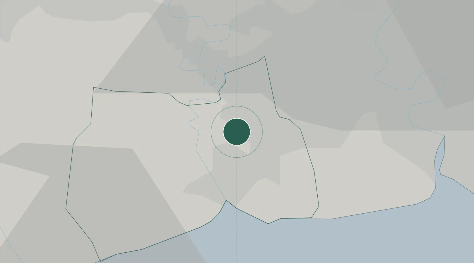
Hub Profile
Region
74
Logistics facilities
1
Location
Nearby Logistics Neighbours
Cities
- 1Ekachai Container Terminal5 km
- 2Bangsu22 km
- 3Samphanthawong26 km
- 4Sahathai Coastal Seaport27 km
- 5Phra Pradaeng28 km
Ports
- 1Bangkok27 km
- 2Ko Si Chang Terminal76 km
- 3Siam Seaport84 km
- 4Si Racha Terminal84 km
- 5Laem Chabang88 km
Airports
Trade Zones
DatabookThe Record of Consolidated Knowledge
Thailand beyond logistics?