Transport Functions
Port
Hub Profile
Place type
Provincial seat
Region
Phetchaburi
Time zone
Asia/Bangkok
Elevation
8 m
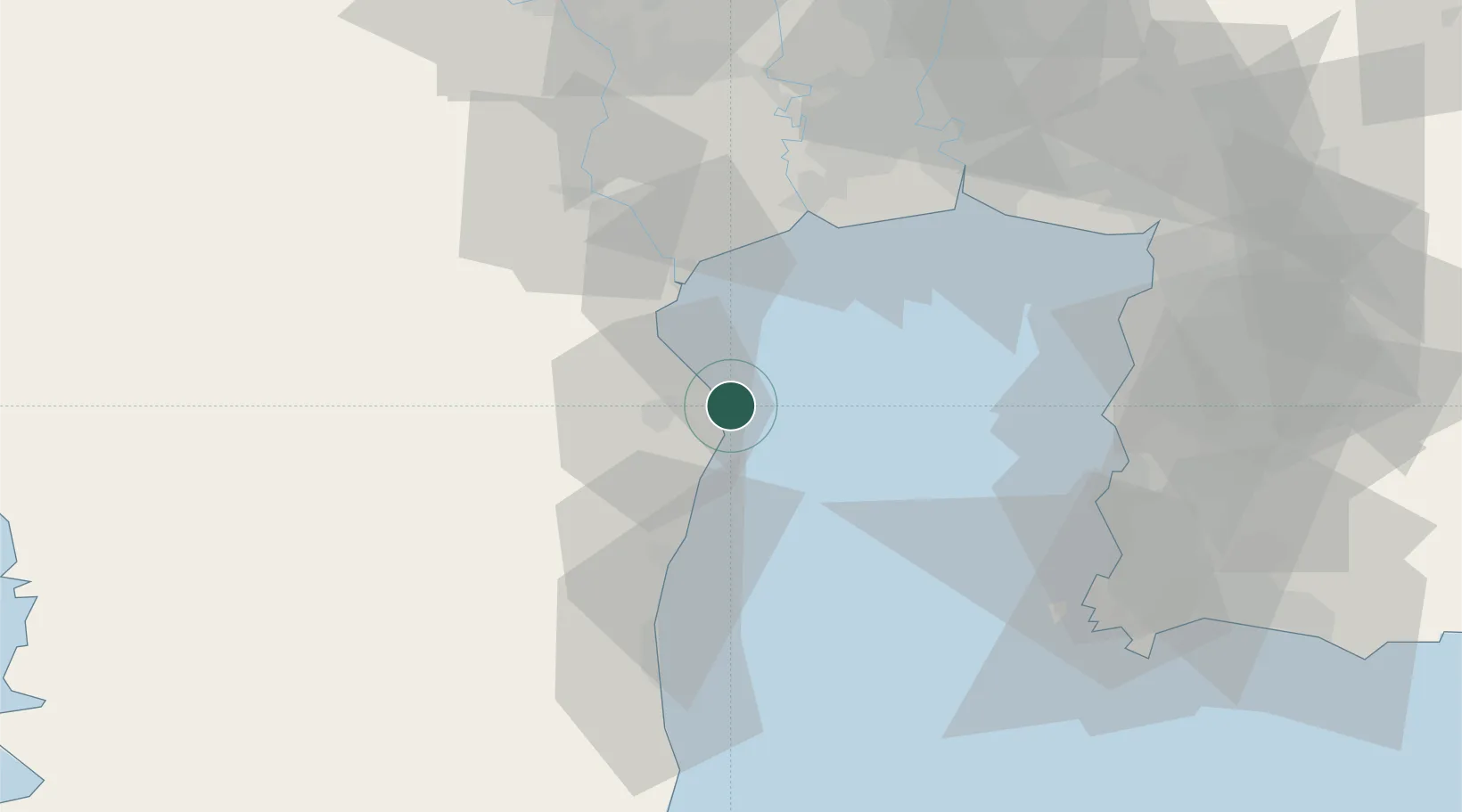
Location
Nearby Logistics Neighbours
Cities
- 1Phet Buri18 km
- 2Mae Klong31 km
- 3Ekachai Container Terminal56 km
- 4Ratchaburi58 km
- 5Samut Sakhon, Changwat59 km
Ports
- 1Ko Si Chang Terminal76 km
- 2Bangkok82 km
- 3Siam Seaport83 km
- 4Laem Chabang83 km
- 5Si Racha Terminal87 km
Airports
Trade Zones
DatabookThe Record of Consolidated Knowledge
Thailand beyond logistics?