Transport Functions
Port
Hub Profile
Region
74
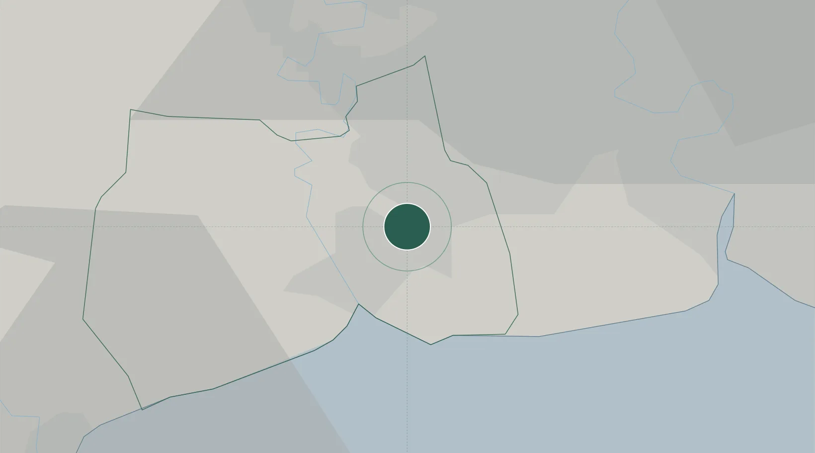
Location
Nearby Logistics Neighbours
Cities
- 1Samut Sakhon, Changwat5 km
- 2Sahathai Coastal Seaport25 km
- 3Phra Pradaeng26 km
- 4Siamgas and Petrochemicals26 km
- 5Samphanthawong26 km
Ports
- 1Bangkok27 km
- 2Ko Si Chang Terminal71 km
- 3Siam Seaport79 km
- 4Si Racha Terminal80 km
- 5Laem Chabang83 km
Airports
Trade Zones
DatabookThe Record of Consolidated Knowledge
Thailand beyond logistics?