Transport Functions
Port
Airport
Hub Profile
Place type
Regional capital
Region
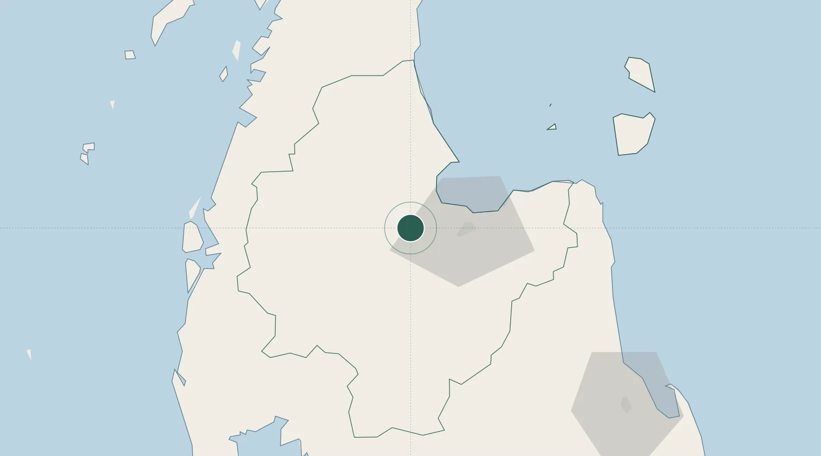
Surat Thani
Population
132,040
Time zone
Asia/Bangkok
Elevation
10 m
Location
Nearby Logistics Neighbours
Cities
- 1Ban Don26 km
- 2Nakhon Si Thammarat81 km
- 3Khanom83 km
- 4Pak Phanang83 km
- 5Sichon87 km
Ports
- 1Khanom85 km
- 2Krabi121 km
- 3Phuket166 km
- 4Kantang Harbor197 km
- 5Bang Saphan234 km
Airports
- 1Surat Thani Airport0 km
- 2Ranong Airport94 km
- 3Nakhon Si Thammarat Airport111 km
- 4Samui International Airport112 km
- 5Krabi International Airport117 km
DatabookThe Record of Consolidated Knowledge
Thailand beyond logistics?