Medium airport · Myanmar (Burma)
Kawthoung AirportVYKT
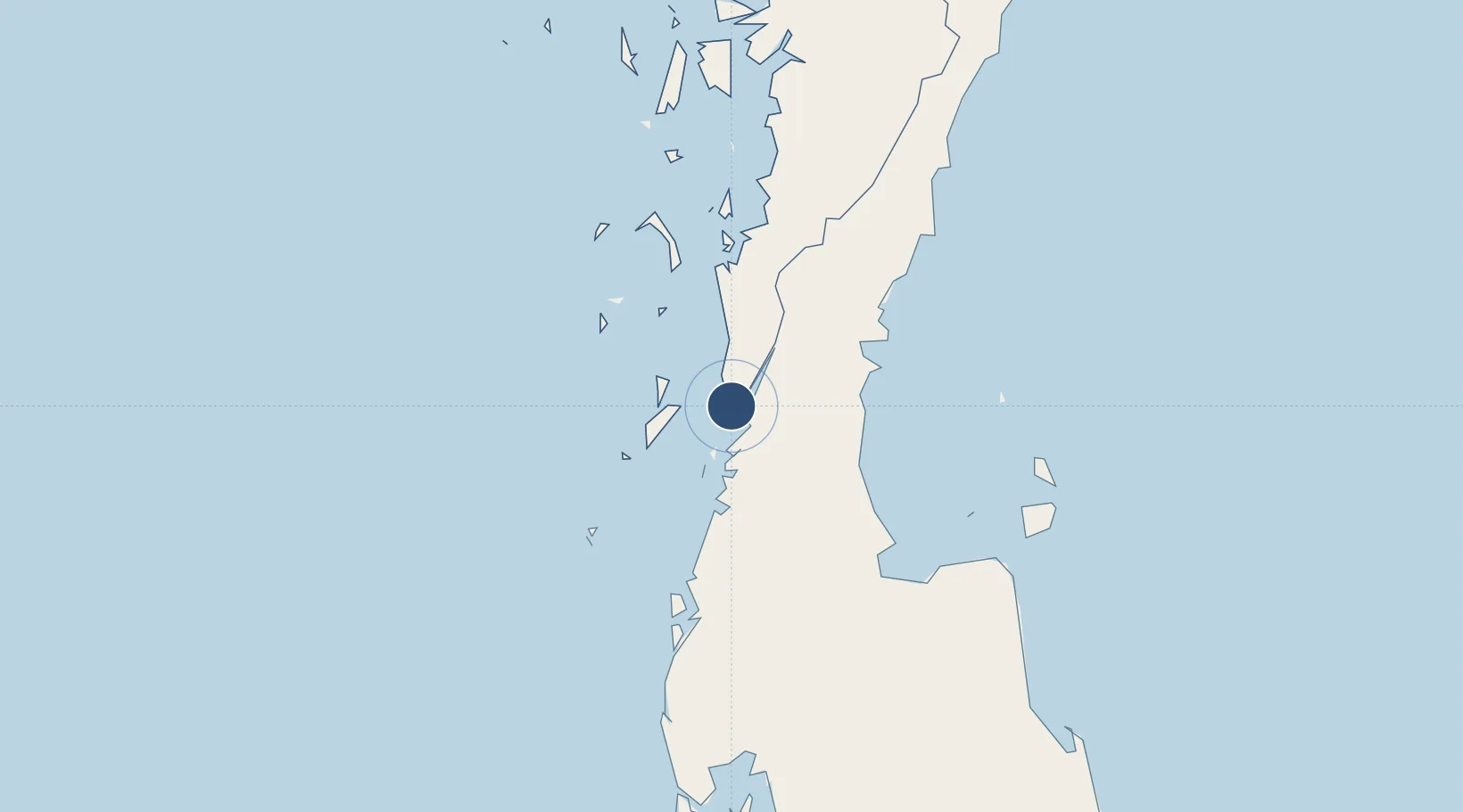
10.0493°, 98.5380°
6,000 ft
Longest runway
1
Runways
180 ft
Elevation
Runway & Layout

Radio Frequencies
TWR
118.7 MHz
Navaids
KT NDB Kawthoung 290 kHz
Runways · 1
| Runway | Dimensions | Surface | True heading | Lit |
|---|---|---|---|---|
| 02/20 | 6,000 × 150ft | Asphalt | 018° | ✓ |
Airport Specifications
IATA code
KAW
ICAO code
VYKT
Airport class
Medium airport
Scheduled service
Yes
Runway surface
Asphalt
Served city
Kawthoung
Location
Nearby Logistics Neighbours
Airports
- 1Ranong Airport31 km
- 2Chumphon Airport116 km
- 3Surat Thani Airport121 km
- 4Samui International Airport176 km
- 5Phuket International Airport217 km
Cities
- 1Ranong14 km
- 2Lang Suan68 km
- 3Chumphon90 km
- 4Surat Thani121 km
- 5Ban Don132 km
Ports
- 1Bang Saphan171 km
- 2Khanom177 km
- 3Krabi224 km
- 4Mergui265 km
- 5Benchamas Terminal301 km
Trade Zones
- 1Thai Diamond City Industrial Estate335 km
- 2Khao Yoi Industrial Park374 km
- 3Asia Industrial Estate406 km
- 4Padaeng Industrial Estate409 km
- 5Map Ta Phut Industrial Estate409 km
DatabookThe Record of Consolidated Knowledge
Myanmar (Burma) beyond logistics?