Transport Functions
Port
Rail
Road
Hub Profile
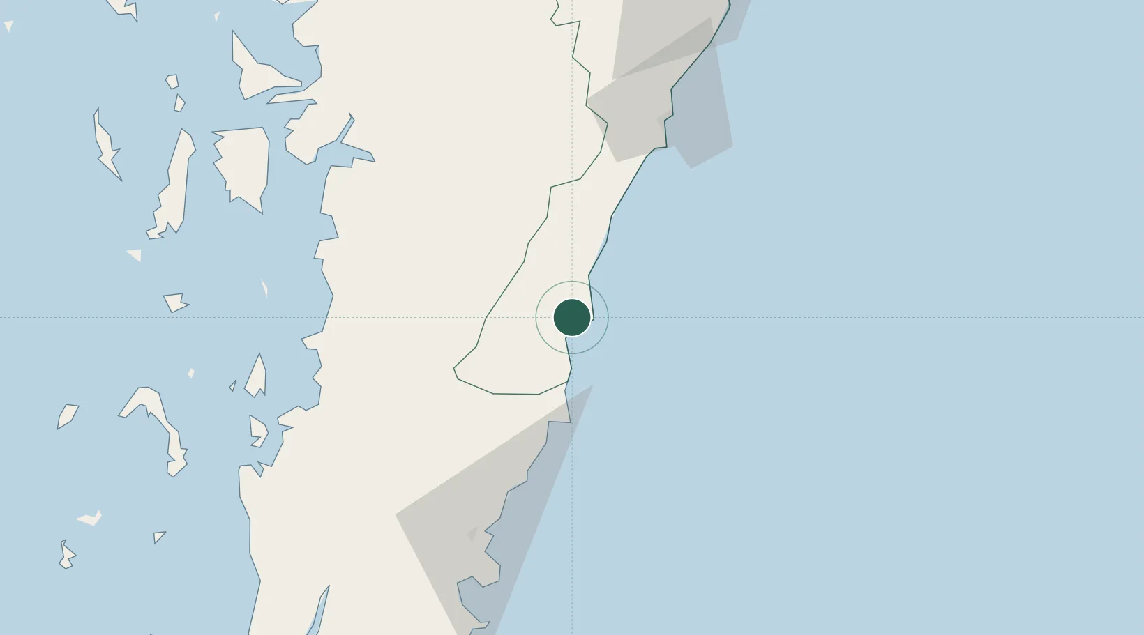
Place type
Populated place
Region
Prachuap Khiri Khan
Population
15,134
Time zone
Asia/Bangkok
Elevation
12 m
Location
Nearby Logistics Neighbours
Cities
- 1Prachuap Port7 km
- 2Chumphon90 km
- 3Tanintharyi112 km
- 4Lang Suan145 km
- 5Ranong168 km
Ports
- 1Mergui170 km
- 2Benchamas Terminal204 km
- 3Sattahip219 km
- 4Khanom226 km
- 5Tantawan Marine Terminal242 km
Airports
- 1Chumphon Airport57 km
- 2Hua Hin Airport167 km
- 3Kawthoung Airport167 km
- 4Myeik Airport169 km
- 5Ranong Airport188 km
Trade Zones
- 1Thai Diamond City Industrial Estate182 km
- 2Khao Yoi Industrial Park222 km
- 3Asia Industrial Estate240 km
- 4Padaeng Industrial Estate243 km
- 5Map Ta Phut Industrial Estate243 km
DatabookThe Record of Consolidated Knowledge
Thailand beyond logistics?