UN/LOCODE hub · Myanmar (Burma)
MMTEN
Tanintharyi
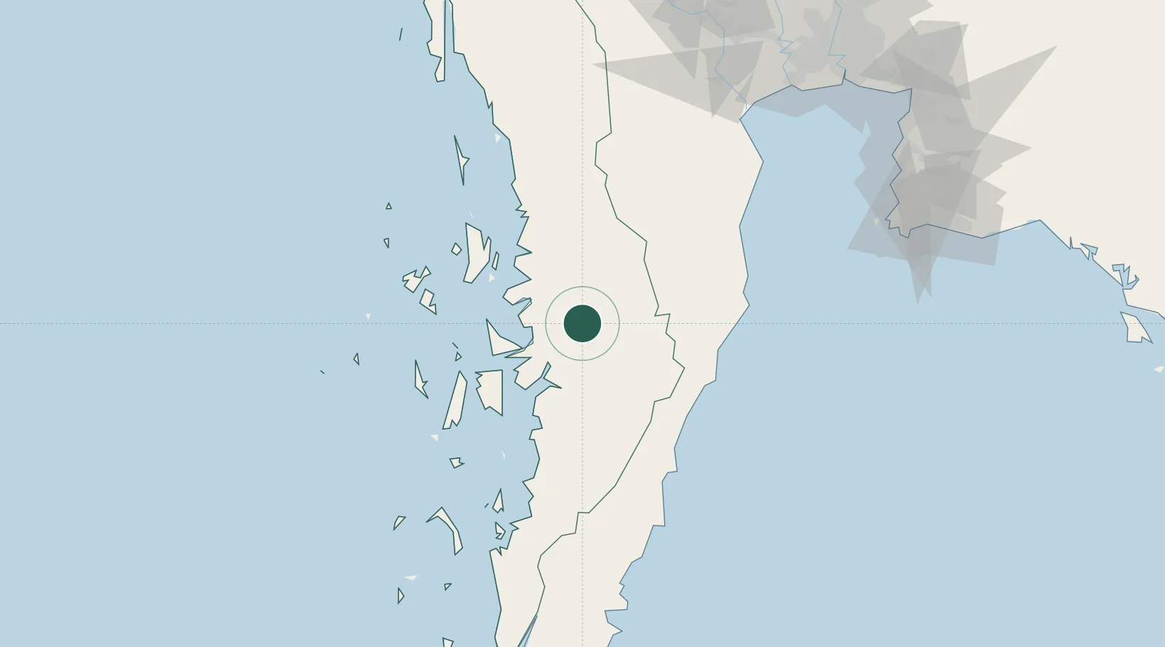
12.0833°, 99.0167°
5,514
Population
1
Transport functions
Transport Functions
Port
Hub Profile
Place type
Populated place
Region
Tanintharyi Region
Population
5,514
Time zone
Asia/Yangon
Elevation
15 m
Location
Nearby Logistics Neighbours
Cities
- 1Bang Saphan112 km
- 2Prachuap Port116 km
- 3Phet Buri152 km
- 4Ban Laem166 km
- 5Mae Klong177 km
Ports
- 1Mergui60 km
- 2Bang Saphan119 km
- 3Sattahip215 km
- 4Ko Si Chang Terminal230 km
- 5Laem Chabang231 km
Airports
- 1Myeik Airport58 km
- 2Hua Hin Airport119 km
- 3Chumphon Airport157 km
- 4U-Tapao–Rayong–Pattaya International Airport226 km
- 5Kawthoung Airport232 km
Trade Zones
DatabookThe Record of Consolidated Knowledge
Myanmar (Burma) beyond logistics?