Medium airport · Thailand
Chumphon AirportVTSE
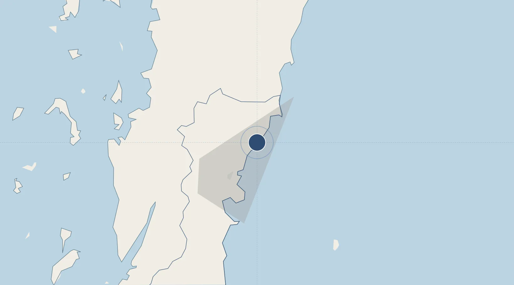
10.7112°, 99.3617°
6,890 ft
Longest runway
1
Runways
18 ft
Elevation
Runway & Layout

Radio Frequencies
TWR
122.15 MHz
APP
119.75 MHz
Navaids
CP NDB Chumphon 279 kHz
CPN VOR-DME Chumphon 110.00 MHz
Runways · 1
| Runway | Dimensions | Surface | True heading | Lit |
|---|---|---|---|---|
| 06/24 | 6,890 × 148ft | Asphalt | 060° | ✓ |
Airport Specifications
IATA code
CJM
ICAO code
VTSE
Airport class
Medium airport
Scheduled service
Yes
Runway surface
Asphalt
Served city
Chumphon
Location
Nearby Logistics Neighbours
Airports
- 1Kawthoung Airport116 km
- 2Ranong Airport134 km
- 3Samui International Airport150 km
- 4Surat Thani Airport177 km
- 5Myeik Airport208 km
Cities
- 1Chumphon33 km
- 2Bang Saphan57 km
- 3Prachuap Port60 km
- 4Lang Suan88 km
- 5Ranong115 km
Ports
- 1Bang Saphan59 km
- 2Khanom178 km
- 3Benchamas Terminal208 km
- 4Mergui209 km
- 5Tantawan Marine Terminal235 km
Trade Zones
- 1Thai Diamond City Industrial Estate238 km
- 2Khao Yoi Industrial Park278 km
- 3Asia Industrial Estate291 km
- 4Map Ta Phut Industrial Estate294 km
- 5Padaeng Industrial Estate294 km
DatabookThe Record of Consolidated Knowledge
Thailand beyond logistics?