Transport Functions
Port
Hub Profile
Place type
Provincial seat
Region
Chumphon
Population
16,142
Time zone
Asia/Bangkok
Elevation
11 m
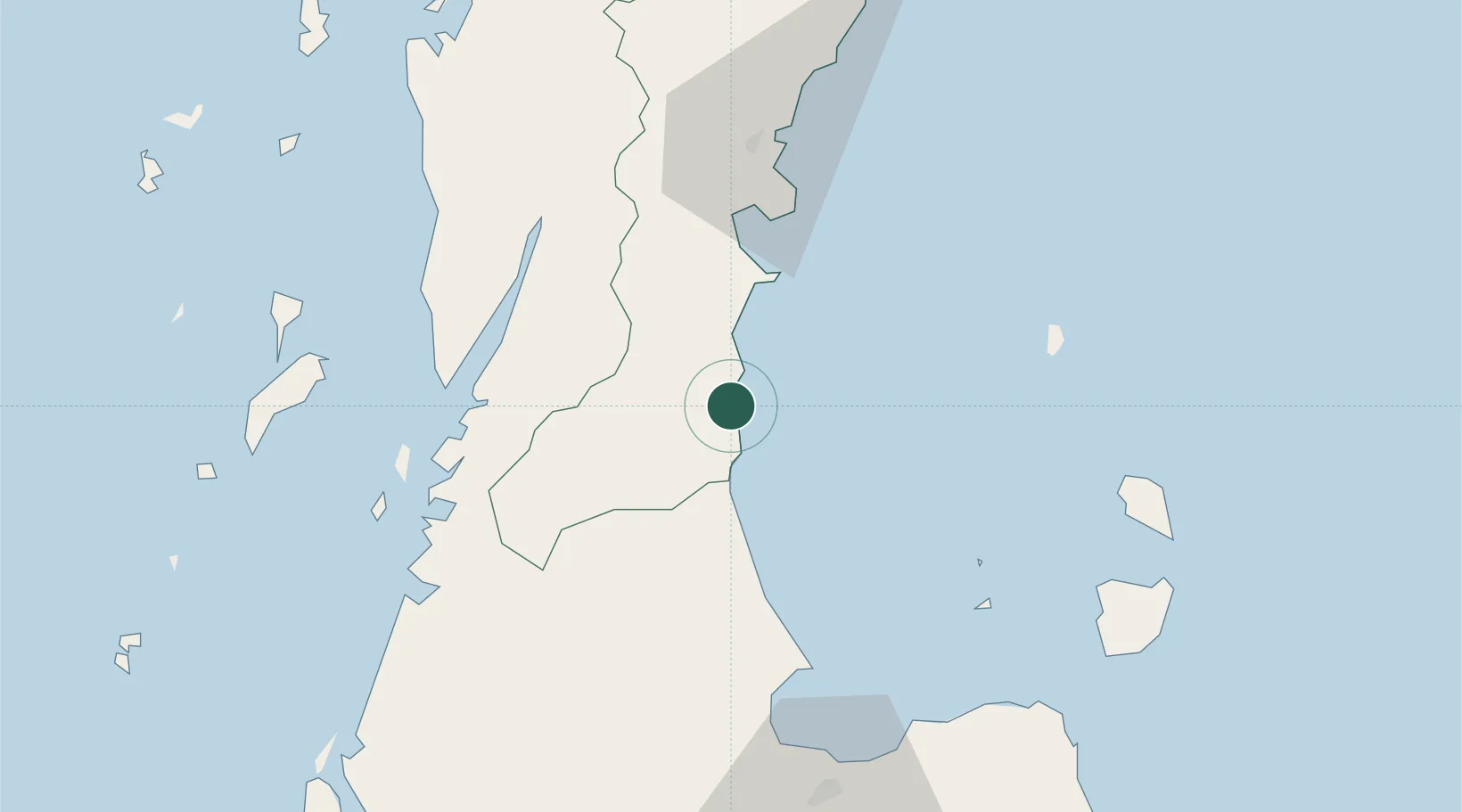
Location
Nearby Logistics Neighbours
Cities
- 1Chumphon55 km
- 2Ranong57 km
- 3Ban Don89 km
- 4Surat Thani91 km
- 5Ko Samui98 km
Ports
- 1Khanom117 km
- 2Bang Saphan146 km
- 3Krabi211 km
- 4Benchamas Terminal238 km
- 5Tantawan Marine Terminal249 km
Airports
- 1Ranong Airport65 km
- 2Kawthoung Airport68 km
- 3Chumphon Airport88 km
- 4Surat Thani Airport91 km
- 5Samui International Airport110 km
Trade Zones
DatabookThe Record of Consolidated Knowledge
Thailand beyond logistics?