Seaport · Thailand

SattahipTHSAT

12.6167°, 100.9167°
7.9 m
Channel depth
7.4
Port liner connectivity
Sattahip is also a UN/LOCODE logistics hub →

Channel & Berth Profile

SEA LEVEL (CD)CHANNEL BEDChannel · 7.9 mCargo pier · 7.9 mOil terminal · 11.0 mAnchorage · 23.2 m
NGA World Port Index

Pilotage, Tugs & Services

Pilotage compulsoryYES
Pilotage availableYES
NGA World Port Index

Facilities & Capabilities

Container
Ro-Ro
Liquid bulk
Dry bulk
Oil terminal
Break bulk
Dry dock
Repairs
Bunkering
Rail link
Dangerous cargo
ISPS security
NGA World Port Index

Harbour Specifications

Harbour size
Medium
NGA World Port Index
Harbour type
Coastal (Breakwater)
NGA World Port Index
Shelter
Poor
NGA World Port Index
Water body
Gulf of Thailand; South China Sea; North Pacific Ocean
NGA World Port Index
Pilotage
Yes
NGA World Port Index

Liner Connectivity

7.4
PLSCI

Port Liner Shipping Connectivity Index for Sattahip, as published by UNCTAD for the latest available quarter. Higher values indicate stronger scheduled liner-shipping integration.

Shown relative to the highest per-port PLSCI in the dataset (1,657.9).
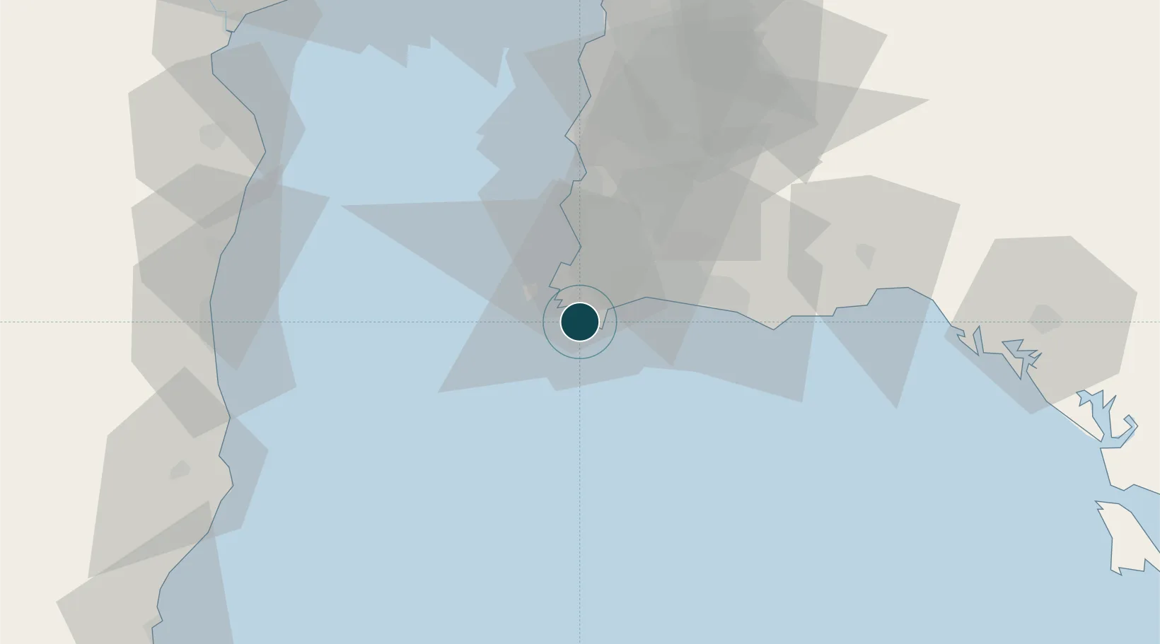
UNCTAD · Port Liner Shipping Connectivity Index

Location

Location of THSAT
Natural Earth 10m (public domain) · Chon Buri · THSAT · 12.62, 100.92GoogleOSMYandex

Nearby Logistics Neighbours

Ports
  1. 1Map Ta Phut28 km
  2. 2Rayong Tpi Terminal42 km
  3. 3Laem Chabang52 km
  4. 4Siam Seaport58 km
  5. 5Si Racha Terminal61 km
Nearest neighbours — logibook spatial index (haversine) over the source coordinates
Cities
  1. 1Tungprong Pt13 km
  2. 2Pattaya35 km
  3. 3Map Ta Phut42 km
  4. 4Chonburi51 km
  5. 5Laem Chabang53 km
Nearest neighbours — logibook spatial index (haversine) over the source coordinates
Airports
  1. 1U-Tapao–Rayong–Pattaya International Airport12 km
  2. 2Hua Hin Airport105 km
  3. 3Suvarnabhumi Airport120 km
  4. 4Don Mueang International Airport148 km
  5. 5Trat Airport157 km
Nearest neighbours — logibook spatial index (haversine) over the source coordinates
Trade Zones
  1. 1Asia Industrial Estate22 km
  2. 2Padaeng Industrial Estate26 km
  3. 3Map Ta Phut Industrial Estate26 km
  4. 4RIL Industrial Estate31 km
  5. 5Hemaraj Rayong Industrial Landhemaraj Ril42 km
Nearest neighbours — logibook spatial index (haversine) over the source coordinates
DatabookThe Record of Consolidated Knowledge
Thailand beyond logistics?
Browse databook

All Sources

Portsthe NGA World Port Index
Public domain (US gov)
Logistics performanceUNCTAD
CC BY 3.0 IGO
AirportsOurAirports
Public domain
LocationsUN/LOCODE
UN/LOCODE — free
Trade Zonesthe World Bank SEZ database
CC BY 4.0
Trade ZonesOpen Zone Map
CC BY
← Thailand ports