UN/LOCODE hub · Thailand
THPPC

Prachuap Port

11.2000°, 99.5833°
1
Transport functions

Transport Functions

Port
UN/LOCODE

Hub Profile

Region
77
GeoNames

Location

Location of THPPC
Natural Earth 10m (public domain) · 77 · THPPC · 11.20, 99.58GoogleOSMYandex

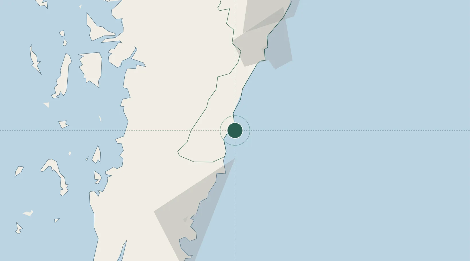
Nearby Logistics Neighbours

Cities
  1. 1Bang Saphan7 km
  2. 2Chumphon92 km
  3. 3Tanintharyi116 km
  4. 4Lang Suan147 km
  5. 5Ranong172 km
Nearest neighbours — logibook spatial index (haversine) over the source coordinates
Ports
  1. 1Bang Saphan3 km
  2. 2Mergui174 km
  3. 3Benchamas Terminal197 km
  4. 4Sattahip214 km
  5. 5Khanom225 km
Nearest neighbours — logibook spatial index (haversine) over the source coordinates
Airports
  1. 1Chumphon Airport60 km
  2. 2Hua Hin Airport165 km
  3. 3Kawthoung Airport172 km
  4. 4Myeik Airport173 km
  5. 5Samui International Airport191 km
Nearest neighbours — logibook spatial index (haversine) over the source coordinates
Trade Zones
  1. 1Thai Diamond City Industrial Estate181 km
  2. 2Khao Yoi Industrial Park221 km
  3. 3Asia Industrial Estate235 km
  4. 4Padaeng Industrial Estate237 km
  5. 5Map Ta Phut Industrial Estate237 km
Nearest neighbours — logibook spatial index (haversine) over the source coordinates
DatabookThe Record of Consolidated Knowledge
Thailand beyond logistics?
Browse databook

All Sources

LocationsUN/LOCODE
UN/LOCODE — free
Portsthe NGA World Port Index
Public domain (US gov)
AirportsOurAirports
Public domain
Trade Zonesthe World Bank SEZ database
CC BY 4.0
Trade ZonesOpen Zone Map
CC BY
← Thailand locations