Transport Functions
Port
Hub Profile
Place type
Regional capital
Region
Ranong province
Population
24,561
Time zone
Asia/Bangkok
Elevation
38 m
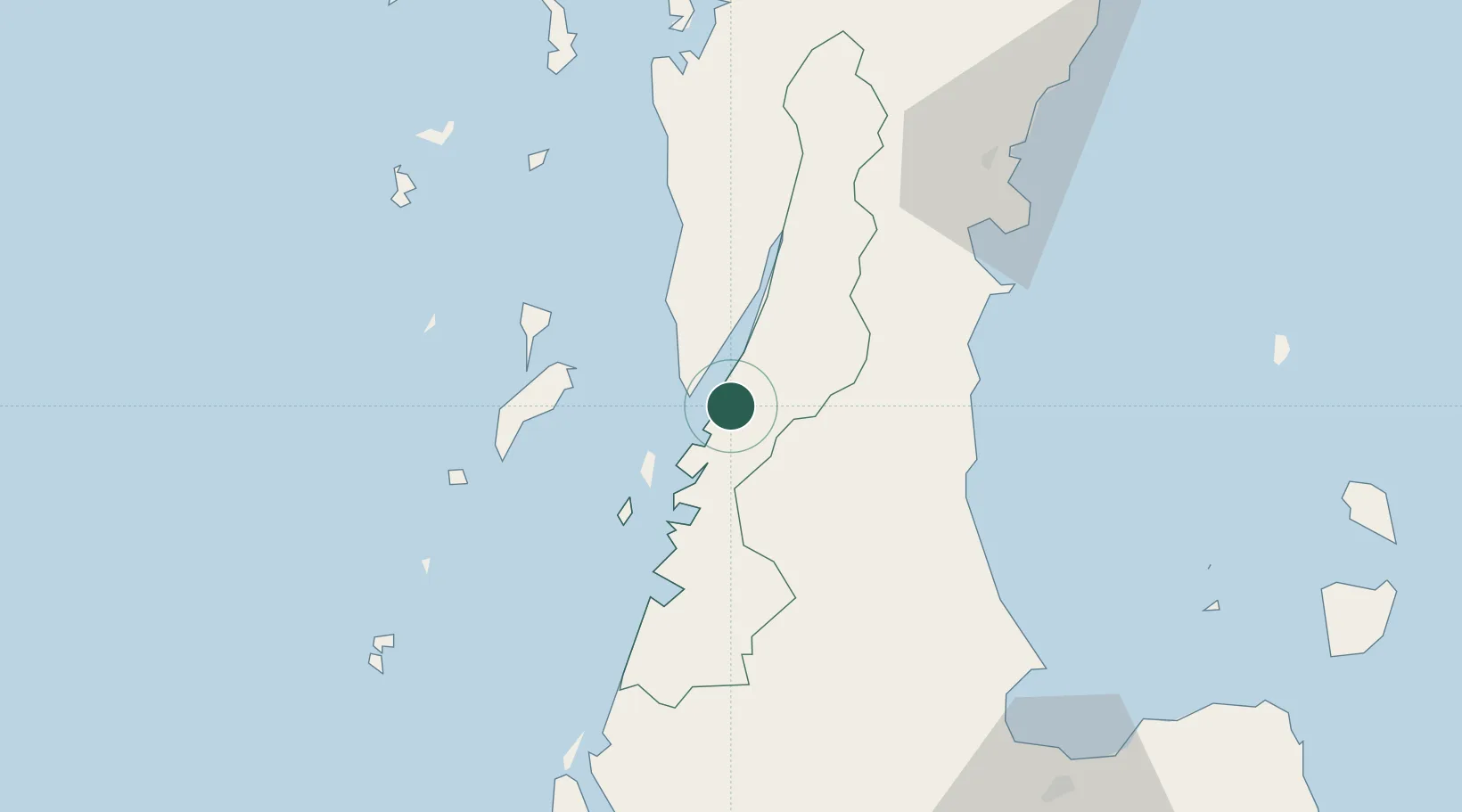
Location
Nearby Logistics Neighbours
Cities
- 1Lang Suan57 km
- 2Chumphon87 km
- 3Surat Thani108 km
- 4Ban Don119 km
- 5Ban Talat Takua Pa129 km
Ports
- 1Khanom163 km
- 2Bang Saphan172 km
- 3Krabi214 km
- 4Phuket239 km
- 5Mergui274 km
Airports
- 1Kawthoung Airport14 km
- 2Ranong Airport22 km
- 3Surat Thani Airport108 km
- 4Chumphon Airport115 km
- 5Samui International Airport163 km
Trade Zones
DatabookThe Record of Consolidated Knowledge
Thailand beyond logistics?