General Industrial Estate · Thailand

Map Ta Phut Industrial Estate Active
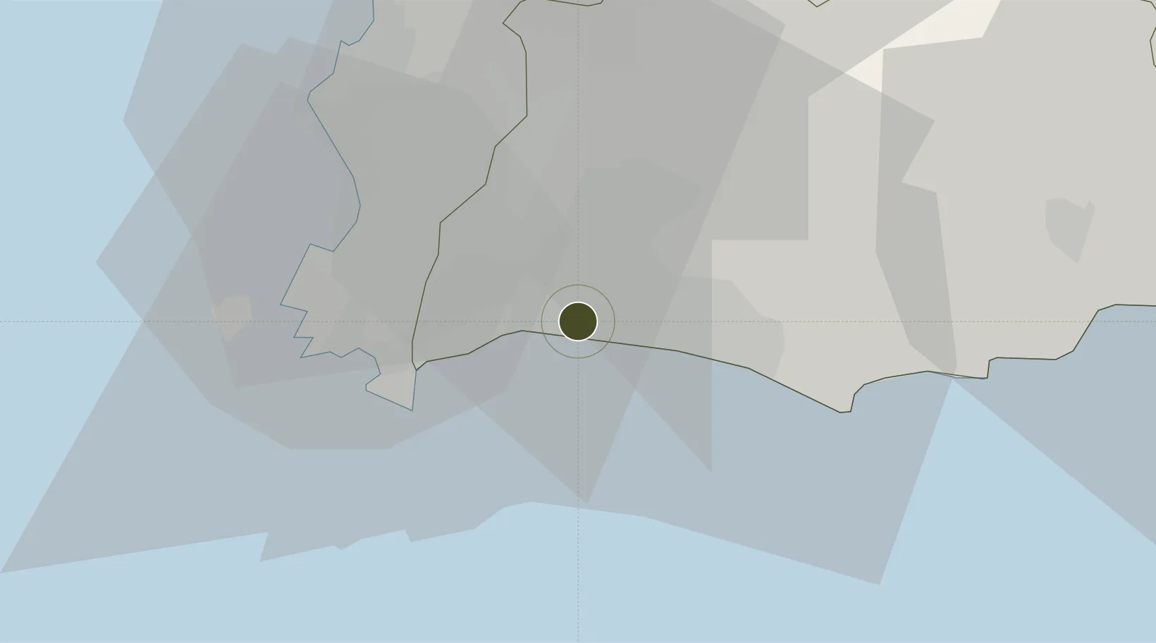
12.6905°, 101.1461°
86 ha
Zone area
3.5 km
Nearest port
15.4 km
Nearest airport

Gateway access

Nearest neighbours — logibook spatial index (haversine) over the source coordinates

Zone profile

Zone type
General Industrial Estate
the World Bank SEZ database
Region
Rayong
the World Bank SEZ database
Status
Active
the World Bank SEZ database
Established
1989
the World Bank SEZ database
Management
Public agency
the World Bank SEZ database
Operator
Industrial Estate Authority of Thailand
the World Bank SEZ database
Regulatory authority
Industrial Estate Authority of Thailand
the World Bank SEZ database
Legal framework
Industrial Estate Authority of Thailand Act
the World Bank SEZ database

Location

Location of THA21
Natural Earth 10m (public domain) · Rayong · THA21 · 12.69, 101.15GoogleOSMYandex

Fiscal & incentives

Corporate tax
20%
the World Bank SEZ database
Tax relief
No exemption
the World Bank SEZ database
Relief duration
No exemption
the World Bank SEZ database
VAT
No exemption
the World Bank SEZ database
Import duty (inputs)
0% exempt
the World Bank SEZ database
Import duty (capex)
0% exempt
the World Bank SEZ database
Profit repatriation
No exemption
the World Bank SEZ database
Capital gains
No exemption
the World Bank SEZ database
Withholding tax
No exemption
the World Bank SEZ database
Min. investment
None
the World Bank SEZ database
Min. export
0%
the World Bank SEZ database
Employment incentive
No exemption
the World Bank SEZ database
Developer incentive
No established framework
the World Bank SEZ database

Nearby Logistics Neighbours

Ports
  1. 1Map Ta Phut4 km
  2. 2Rayong Tpi Terminal18 km
  3. 3Sattahip26 km
  4. 4Laem Chabang52 km
  5. 5Siam Seaport57 km
Nearest neighbours — logibook spatial index (haversine) over the source coordinates
Airports
  1. 1U-Tapao–Rayong–Pattaya International Airport15 km
  2. 2Suvarnabhumi Airport118 km
  3. 3Hua Hin Airport130 km
  4. 4Trat Airport136 km
  5. 5Don Mueang International Airport148 km
Nearest neighbours — logibook spatial index (haversine) over the source coordinates
Cities
  1. 1Map Ta Phut17 km
  2. 2Sattahip26 km
  3. 3Tungprong Pt34 km
  4. 4Pattaya39 km
  5. 5Chonburi50 km
Nearest neighbours — logibook spatial index (haversine) over the source coordinates
Trade Zones
  1. 1Padaeng Industrial Estate0 km
  2. 2Asia Industrial Estate6 km
  3. 3RIL Industrial Estate7 km
  4. 4Hemaraj Rayong Industrial Landhemaraj Ril18 km
  5. 5Irpc Eco Industrial Zone18 km
Nearest neighbours — logibook spatial index (haversine) over the source coordinates
DatabookThe Record of Consolidated Knowledge
Thailand beyond logistics?
Browse databook

All Sources

Trade Zonesthe World Bank SEZ database
CC BY 4.0
Portsthe NGA World Port Index
Public domain (US gov)
AirportsOurAirports
Public domain
LocationsUN/LOCODE
UN/LOCODE — free
← Thailand trade zones