Transport Functions
Port
Road
Hub Profile
Place type
Regional capital
Region
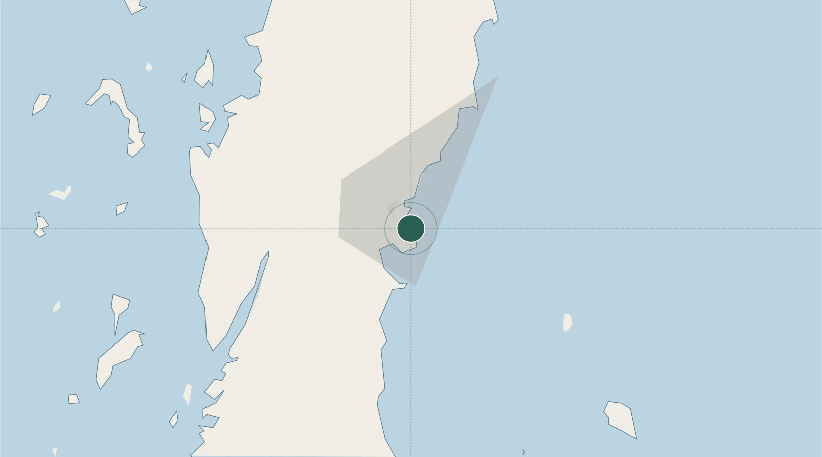
Chumphon
Population
55,835
Time zone
Asia/Bangkok
Elevation
8 m
Location
Nearby Logistics Neighbours
Cities
- 1Lang Suan55 km
- 2Ranong87 km
- 3Bang Saphan90 km
- 4Prachuap Port92 km
- 5Ko Samui124 km
Ports
- 1Bang Saphan91 km
- 2Khanom154 km
- 3Benchamas Terminal217 km
- 4Mergui234 km
- 5Tantawan Marine Terminal238 km
Airports
- 1Chumphon Airport33 km
- 2Kawthoung Airport90 km
- 3Ranong Airport104 km
- 4Samui International Airport132 km
- 5Surat Thani Airport145 km
Trade Zones
- 1Thai Diamond City Industrial Estate271 km
- 2Khao Yoi Industrial Park310 km
- 3Asia Industrial Estate322 km
- 4Map Ta Phut Industrial Estate324 km
- 5Padaeng Industrial Estate324 km
DatabookThe Record of Consolidated Knowledge
Thailand beyond logistics?