Medium airport · Myanmar (Burma)
Myeik AirportVYME
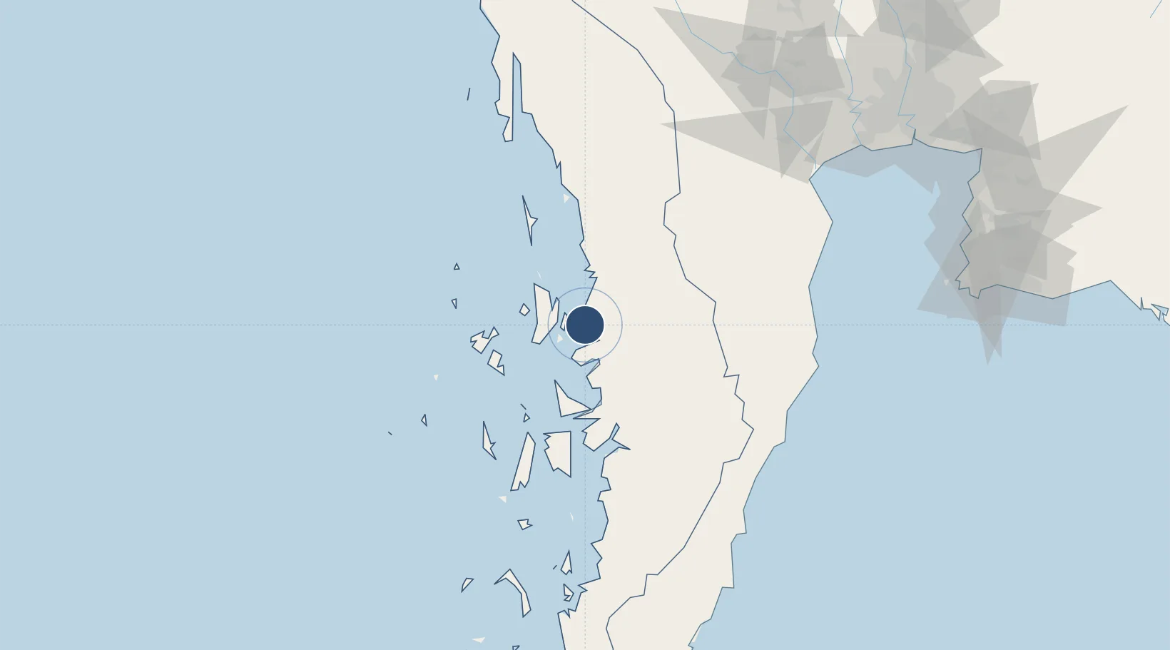
12.4398°, 98.6215°
8,795 ft
Longest runway
1
Runways
75 ft
Elevation
Runway & Layout

Radio Frequencies
TWR
118.7 MHz
APP
119.7 MHz
Navaids
ME NDB Myeik 300 kHz
Runways · 1
| Runway | Dimensions | Surface | True heading | Lit |
|---|---|---|---|---|
| 18/36 | 8,795 × 180ft | Asphalt | 182° | ✓ |
Airport Specifications
IATA code
MGZ
ICAO code
VYME
Airport class
Medium airport
Scheduled service
Yes
Runway surface
Asphalt
Served city
Mkeik
Location
Nearby Logistics Neighbours
Airports
- 1Hua Hin Airport146 km
- 2Dawei Airport191 km
- 3Chumphon Airport208 km
- 4Kamphaeng Saen Airport232 km
- 5U-Tapao–Rayong–Pattaya International Airport260 km
Cities
- 1Tanintharyi58 km
- 2Phet Buri162 km
- 3Bang Saphan169 km
- 4Prachuap Port173 km
- 5Ratchaburi176 km
Ports
- 1Mergui2 km
- 2Bang Saphan176 km
- 3Sattahip250 km
- 4Bangkok250 km
- 5Ko Si Chang Terminal251 km
Trade Zones
DatabookThe Record of Consolidated Knowledge
Myanmar (Burma) beyond logistics?