Transport Functions
Port
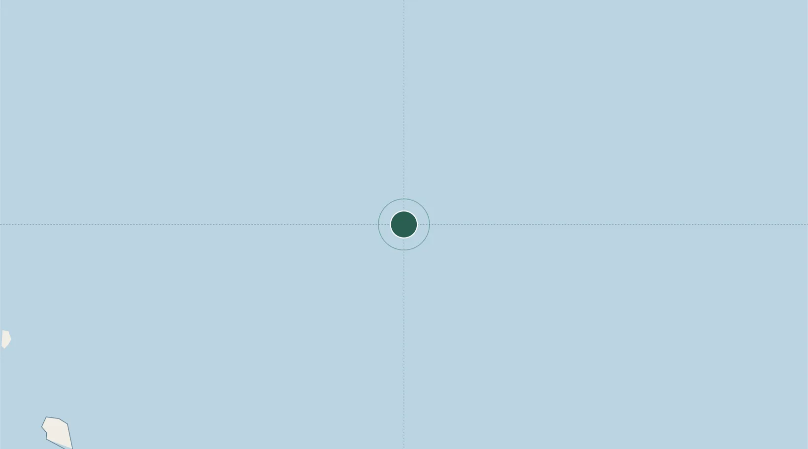
Location
Nearby Logistics Neighbours
Cities
- 1Platong98 km
- 2Erawan162 km
- 3Ko Samui187 km
- 4Prachuap Port204 km
- 5Bang Saphan211 km
Ports
- 1Tantawan Marine Terminal49 km
- 2Erawan Terminal158 km
- 3Bang Saphan202 km
- 4Khanom213 km
- 5Rayong Tpi Terminal235 km
Airports
- 1Samui International Airport175 km
- 2Dara Sakor International Airport213 km
- 3Chumphon Airport215 km
- 4Trat Airport224 km
- 5U-Tapao–Rayong–Pattaya International Airport243 km
Trade Zones
DatabookThe Record of Consolidated Knowledge
Thailand beyond logistics?