Transport Functions
Port
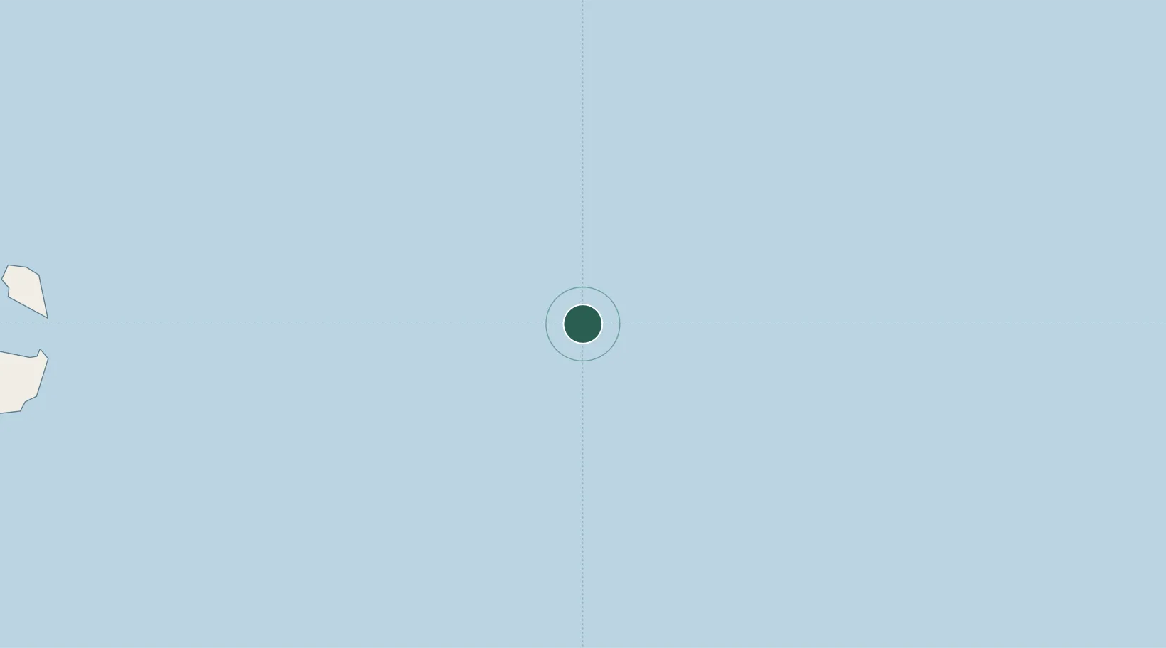
Location
Nearby Logistics Neighbours
Cities
- 1Erawan65 km
- 2Benchamas98 km
- 3Ko Samui169 km
- 4Khanom181 km
- 5Pak Phanang181 km
Ports
- 1Tantawan Marine Terminal49 km
- 2Erawan Terminal63 km
- 3Benchamas Terminal99 km
- 4Khanom179 km
- 5Kampong Saom248 km
Airports
- 1Samui International Airport154 km
- 2Nakhon Si Thammarat Airport208 km
- 3Cha Eian Airport212 km
- 4Dara Sakor International Airport238 km
- 5Sihanouk International Airport258 km
Trade Zones
DatabookThe Record of Consolidated Knowledge
Thailand beyond logistics?