Transport Functions
Rail
Road
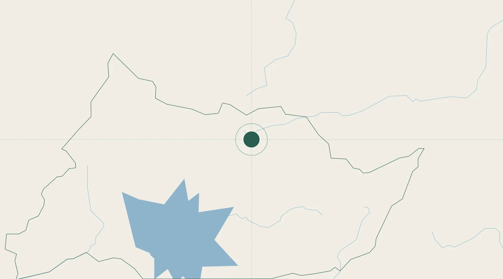
Hub Profile
Place type
Regional capital
Region
Adamaoua
Population
238,196
Time zone
Africa/Douala
Elevation
1,128 m
Logistics facilities
2
Location
Nearby Logistics Neighbours
Ports
- 1Douala566 km
- 2Limboh Terminal617 km
- 3Calabar639 km
- 4Kome Kribi 1 Marine Terminal647 km
- 5Kole Oil Terminal654 km
Airports
- 1N'Gaoundéré Airport2 km
- 2Garoua International Airport221 km
- 3Yola Airport246 km
- 4Moundou Airport310 km
- 5Salak Airport353 km
Trade Zones
DatabookThe Record of Consolidated Knowledge
Cameroon beyond logistics?