Large airport · Mozambique
Maputo AirportFQMA
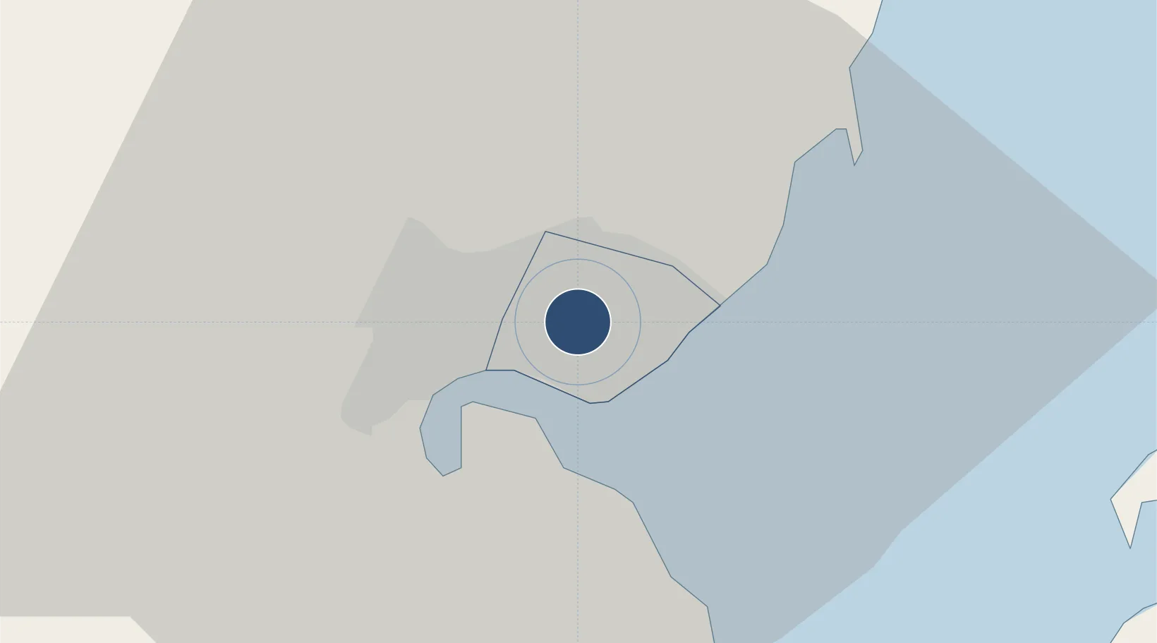
-25.9208°, 32.5726°
12,008 ft
Longest runway
2
Runways
145 ft
Elevation
Runway & Layout

Radio Frequencies
TWR
118.1 MHz
Tower
GND
121.7 MHz
Ground
APP
121.3 MHz
Approach
CTR
127.7 MHz
Center
Navaids
VMA VOR-DME Maputo 112.70 MHz
Runways · 2
| Runway | Dimensions | Surface | True heading | Lit |
|---|---|---|---|---|
| 05/23 | 12,008 × 148ft | Asphalt | 029° | ✓ |
| 10/28 | 5,577 × 148ft | Asphalt | 086° | ✓ |
Airport Specifications
IATA code
MPM
ICAO code
FQMA
Airport class
Large airport
Scheduled service
Yes
Runway surface
Asphalt
Served city
Maputo
Location
Nearby Logistics Neighbours
Airports
Cities
- 1Maputo5 km
- 2Siphofaneni123 km
- 3Sidvokodvo136 km
- 4Ezulwini150 km
- 5Motshane150 km
Ports
- 1Maputo5 km
- 2Richards Bay325 km
- 3Inhambane362 km
- 4Durban463 km
- 5Beira715 km
Trade Zones
DatabookThe Record of Consolidated Knowledge
Mozambique beyond logistics?