UN/LOCODE hub · Slovakia
SKZLM
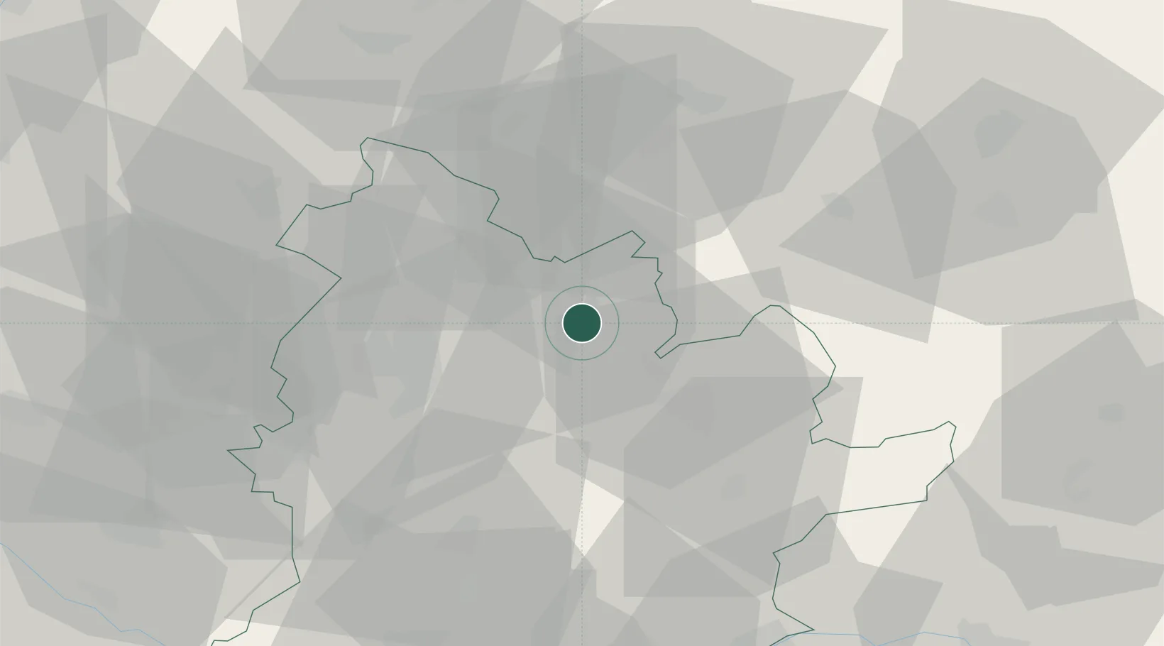
Zlaté Moravce
48.3833°, 18.4000°
11,803
Population
2
Transport functions
Transport Functions
Rail
Road
Hub Profile
Place type
Provincial seat
Region
Nitra Region
Population
11,803
Time zone
Europe/Bratislava
Elevation
197 m
Location
Nearby Logistics Neighbours
Cities
- 1Topolcianky4 km
- 2Sarovce13 km
- 3Tlmace15 km
- 4Nová Bana19 km
- 5Nitrianske Hrnciarovce21 km
Ports
- 1Bakar452 km
- 2Rijeka Luka454 km
- 3Omisalj458 km
- 4Senj463 km
- 5Trieste466 km
Airports
- 1Piešťany Airport50 km
- 2Sliač Airport61 km
- 3M. R. Štefánik Airport91 km
- 4Malacky/Kuchyňa Air Base95 km
- 5Győr-Pér Airport95 km
Trade Zones
DatabookThe Record of Consolidated Knowledge
Slovakia beyond logistics?