UN/LOCODE hub · Slovakia
SKSZU

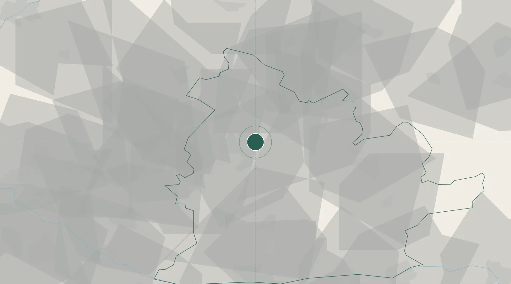
Nitrianske Hrnciarovce

48.3333°, 18.1333°
2,412
Population
1
Transport functions

Transport Functions

Multimodal
UN/LOCODE

Hub Profile

Place type
Populated place
GeoNames
Region
Nitra Region
GeoNames
Population
2,412
GeoNames
Time zone
Europe/Bratislava
GeoNames
Elevation
206 m
GeoNames

Location

Location of SKSZU
Natural Earth 10m (public domain) · Nitra Region · SKSZU · 48.33, 18.13GoogleOSMYandex

Nearby Logistics Neighbours

Cities
  1. 1Cab13 km
  2. 2Mojmírovce14 km
  3. 3Berhida19 km
  4. 4Sarovce19 km
  5. 5Zitavce19 km
Nearest neighbours — logibook spatial index (haversine) over the source coordinates
Ports
  1. 1Bakar434 km
  2. 2Rijeka Luka436 km
  3. 3Omisalj441 km
  4. 4Senj447 km
  5. 5Trieste447 km
Nearest neighbours — logibook spatial index (haversine) over the source coordinates
Airports
  1. 1Piešťany Airport40 km
  2. 2M. R. Štefánik Airport71 km
  3. 3Malacky/Kuchyňa Air Base75 km
  4. 4Sliač Airport81 km
  5. 5Győr-Pér Airport82 km
Nearest neighbours — logibook spatial index (haversine) over the source coordinates
Trade Zones
  1. 1Veselí nad Moravou Industrial Zone89 km
  2. 2Göd Special Economic Zone106 km
  3. 3Holešov Industrial Zone119 km
  4. 4Černovická Terasa Industrial Zone142 km
  5. 5Mošnov Development Area151 km
Nearest neighbours — logibook spatial index (haversine) over the source coordinates
DatabookThe Record of Consolidated Knowledge
Slovakia beyond logistics?
Browse databook

All Sources

LocationsUN/LOCODE
UN/LOCODE — free
LocationsGeoNames
CC BY 4.0
Portsthe NGA World Port Index
Public domain (US gov)
AirportsOurAirports
Public domain
Trade Zonesthe World Bank SEZ database
CC BY 4.0
Trade ZonesOpen Zone Map
CC BY
← Slovakia locations