Transport Functions
Port
Road
Hub Profile
Place type
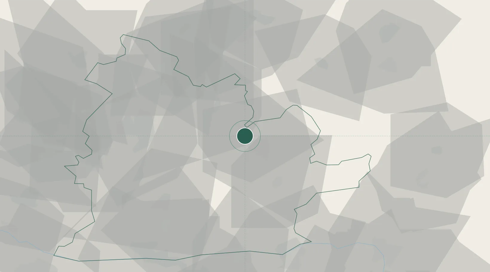
Populated place
Region
Nitra Region
Population
3,542
Time zone
Europe/Bratislava
Elevation
174 m
Location
Nearby Logistics Neighbours
Cities
- 1Levice9 km
- 2Drzenice12 km
- 3Sarovce13 km
- 4Zlaté Moravce15 km
- 5Jesenské16 km
Ports
- 1Bakar450 km
- 2Rijeka Luka453 km
- 3Omisalj456 km
- 4Senj460 km
- 5Trieste466 km
Airports
- 1Sliač Airport59 km
- 2Piešťany Airport64 km
- 3Győr-Pér Airport91 km
- 4M. R. Štefánik Airport99 km
- 5Malacky/Kuchyňa Air Base105 km
Trade Zones
DatabookThe Record of Consolidated Knowledge
Slovakia beyond logistics?