Transport Functions
Multimodal
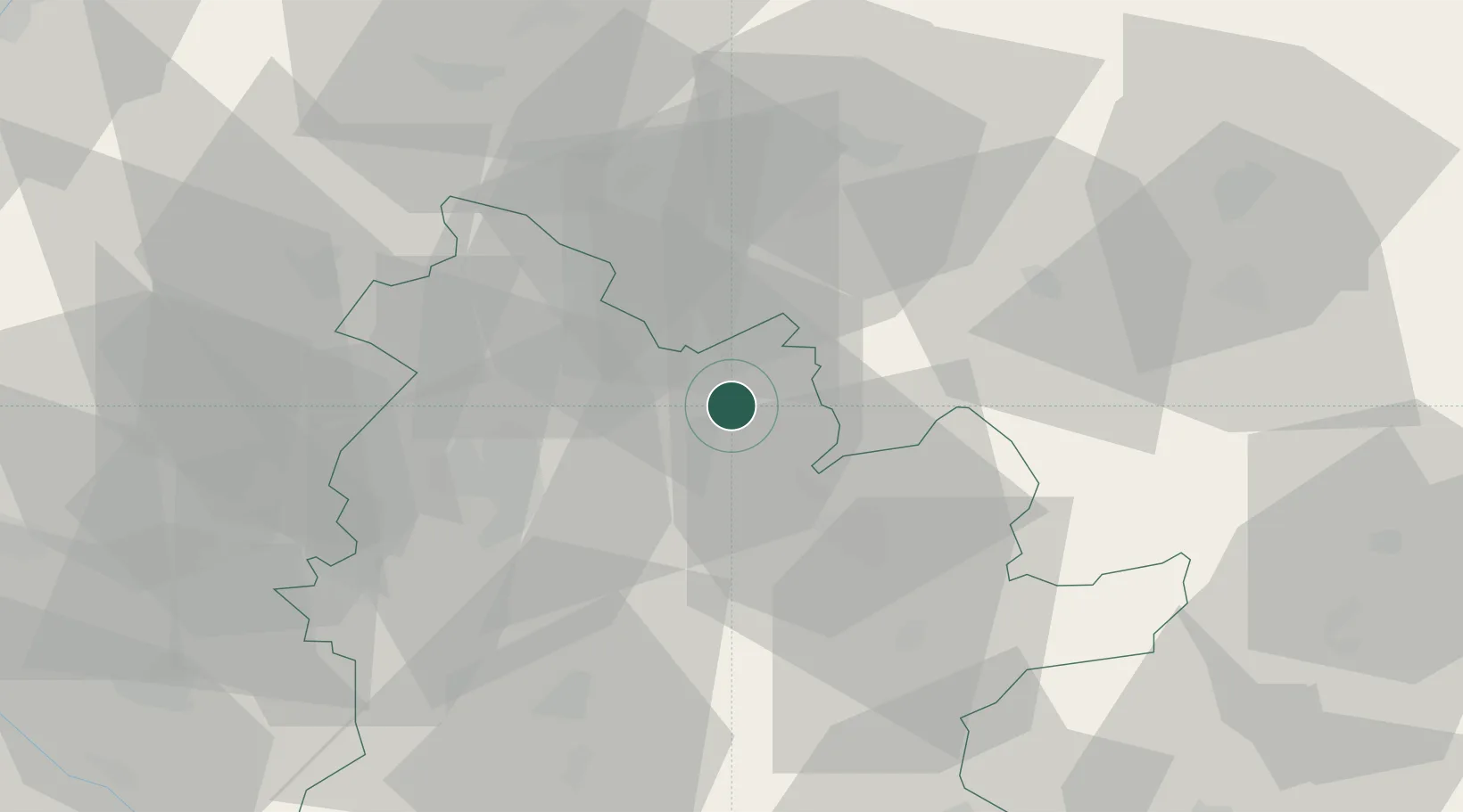
Hub Profile
Place type
Populated place
Region
Nitra Region
Population
2,617
Time zone
Europe/Bratislava
Elevation
206 m
Location
Nearby Logistics Neighbours
Cities
- 1Zlaté Moravce4 km
- 2Sarovce17 km
- 3Tlmace17 km
- 4Nová Bana17 km
- 5Bosany21 km
Ports
- 1Bakar455 km
- 2Rijeka Luka457 km
- 3Omisalj462 km
- 4Senj466 km
- 5Trieste469 km
Airports
- 1Piešťany Airport49 km
- 2Sliač Airport58 km
- 3Žilina-Dolný Hričov Airport92 km
- 4M. R. Štefánik Airport93 km
- 5Malacky/Kuchyňa Air Base96 km
Trade Zones
DatabookThe Record of Consolidated Knowledge
Slovakia beyond logistics?