Transport Functions
Multimodal
Hub Profile
Place type
Populated place
Region
Nitra Region
Time zone
Europe/Bratislava
Elevation
143 m
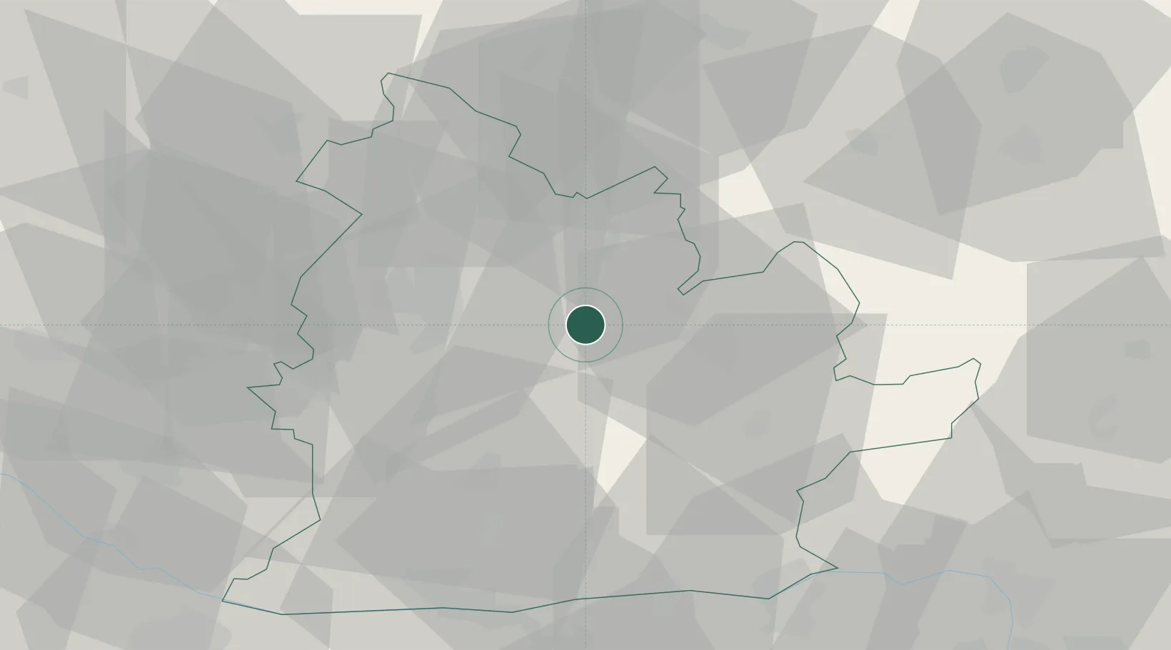
Location
Nearby Logistics Neighbours
Cities
- 1Zitavce9 km
- 2Jesenské12 km
- 3Tlmace13 km
- 4Zlaté Moravce13 km
- 5Topolcianky17 km
Ports
- 1Bakar440 km
- 2Rijeka Luka443 km
- 3Omisalj447 km
- 4Senj451 km
- 5Trieste456 km
Airports
- 1Piešťany Airport56 km
- 2Sliač Airport70 km
- 3Győr-Pér Airport82 km
- 4M. R. Štefánik Airport86 km
- 5Malacky/Kuchyňa Air Base94 km
Trade Zones
DatabookThe Record of Consolidated Knowledge
Slovakia beyond logistics?