Transport Functions
Road
Multimodal
Hub Profile
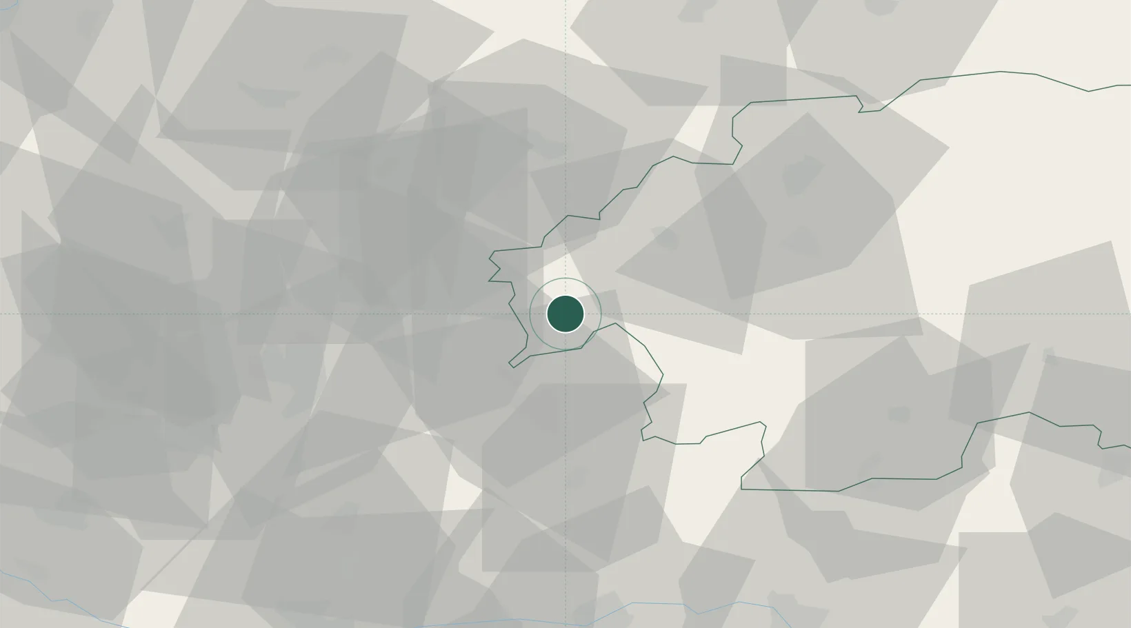
Place type
Populated place
Region
Banská Bystrica Region
Population
6,881
Time zone
Europe/Bratislava
Elevation
231 m
Location
Nearby Logistics Neighbours
Cities
- 1Zarnovica8 km
- 2Hodrusa13 km
- 3Drzenice17 km
- 4Topolcianky17 km
- 5Banska Stiavnica19 km
Ports
- 1Bakar468 km
- 2Rijeka Luka471 km
- 3Omisalj475 km
- 4Senj478 km
- 5Trieste483 km
Airports
- 1Sliač Airport42 km
- 2Piešťany Airport64 km
- 3Žilina-Dolný Hričov Airport89 km
- 4Győr-Pér Airport109 km
- 5M. R. Štefánik Airport110 km
Trade Zones
DatabookThe Record of Consolidated Knowledge
Slovakia beyond logistics?