Transport Functions
Multimodal
Hub Profile
Place type
Populated place
Region
Trenčín Region
Time zone
Europe/Bratislava
Elevation
208 m
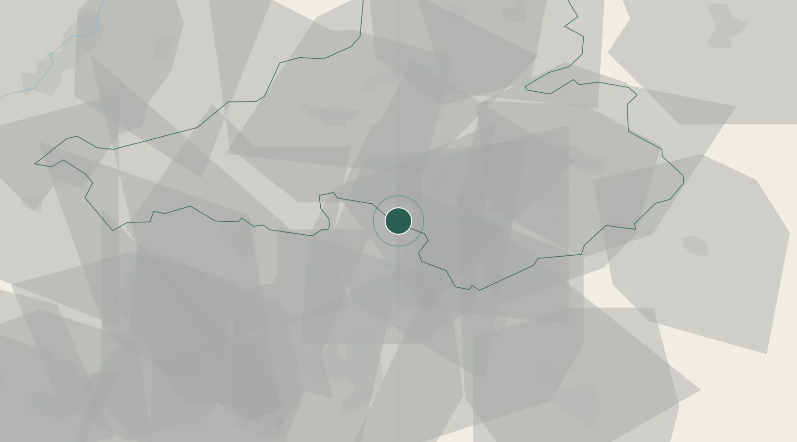
Location
Nearby Logistics Neighbours
Cities
- 1Krusovce8 km
- 2Bánovce nad Bebravou9 km
- 3Bosany10 km
- 4Male Bielice11 km
- 5Krásno11 km
Ports
- 1Bakar464 km
- 2Rijeka Luka466 km
- 3Omisalj471 km
- 4Trieste473 km
- 5Monfalcone473 km
Airports
- 1Piešťany Airport26 km
- 2Kunovice Airport69 km
- 3Sliač Airport70 km
- 4Žilina-Dolný Hričov Airport72 km
- 5Malacky/Kuchyňa Air Base83 km
Trade Zones
DatabookThe Record of Consolidated Knowledge
Slovakia beyond logistics?