Transport Functions
Rail
Road
Hub Profile
Place type
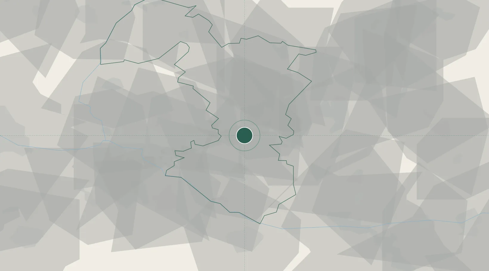
Populated place
Region
Trnava Region
Population
5,415
Time zone
Europe/Bratislava
Elevation
118 m
Logistics facilities
2
Location
Nearby Logistics Neighbours
Cities
- 1Galanta5 km
- 2Dolna Streda11 km
- 3Voderady11 km
- 4Tomásikovo14 km
- 5Krízovany nad Dudváhom15 km
Ports
- 1Bakar400 km
- 2Rijeka Luka402 km
- 3Omisalj407 km
- 4Trieste410 km
- 5Monfalcone411 km
Airports
- 1M. R. Štefánik Airport32 km
- 2Malacky/Kuchyňa Air Base45 km
- 3Piešťany Airport49 km
- 4Győr-Pér Airport65 km
- 5Vienna International Airport80 km
Trade Zones
DatabookThe Record of Consolidated Knowledge
Slovakia beyond logistics?