Transport Functions
Multimodal
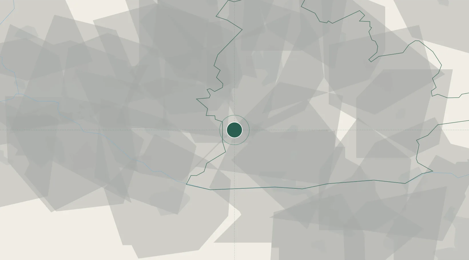
Hub Profile
Place type
Populated place
Region
Nitra Region
Population
3,193
Time zone
Europe/Bratislava
Elevation
112 m
Location
Nearby Logistics Neighbours
Ports
- 1Bakar398 km
- 2Rijeka Luka400 km
- 3Omisalj405 km
- 4Senj409 km
- 5Trieste413 km
Airports
- 1Győr-Pér Airport44 km
- 2M. R. Štefánik Airport56 km
- 3Piešťany Airport68 km
- 4Malacky/Kuchyňa Air Base74 km
- 5Vienna International Airport102 km
Trade Zones
DatabookThe Record of Consolidated Knowledge
Slovakia beyond logistics?