Transport Functions
Port
Rail
Road
Hub Profile
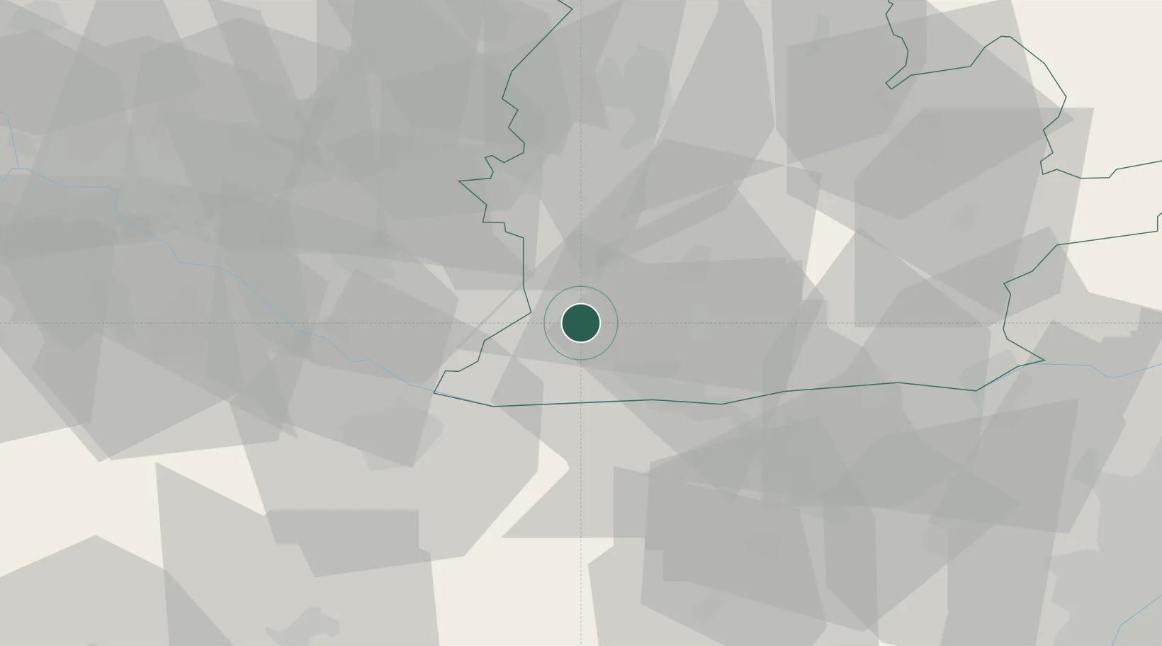
Place type
Populated place
Region
Nitra Region
Population
10,470
Time zone
Europe/Bratislava
Elevation
109 m
Location
Nearby Logistics Neighbours
Cities
- 1Martovce11 km
- 2Vlcany14 km
- 3Nova Straz16 km
- 4Sala17 km
- 5Topolníky17 km
Ports
- 1Bakar391 km
- 2Rijeka Luka394 km
- 3Omisalj397 km
- 4Senj401 km
- 5Trieste408 km
Airports
- 1Győr-Pér Airport33 km
- 2M. R. Štefánik Airport65 km
- 3Piešťany Airport81 km
- 4Malacky/Kuchyňa Air Base85 km
- 5Tököl Airport97 km
Trade Zones
DatabookThe Record of Consolidated Knowledge
Slovakia beyond logistics?