Transport Functions
Road
Multimodal
Hub Profile
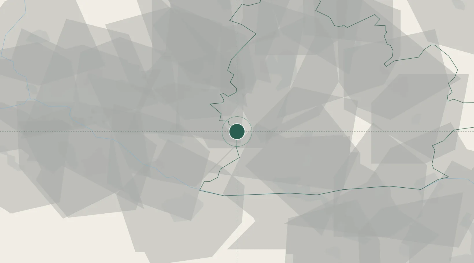
Place type
Provincial seat
Region
Nitra Region
Population
20,239
Time zone
Europe/Bratislava
Elevation
114 m
Location
Nearby Logistics Neighbours
Cities
- 1Vlcany4 km
- 2Topolníky11 km
- 3Sala13 km
- 4Jahodna14 km
- 5Tomásikovo15 km
Ports
- 1Bakar397 km
- 2Rijeka Luka399 km
- 3Omisalj404 km
- 4Senj409 km
- 5Trieste411 km
Airports
- 1Győr-Pér Airport45 km
- 2M. R. Štefánik Airport52 km
- 3Piešťany Airport66 km
- 4Malacky/Kuchyňa Air Base70 km
- 5Vienna International Airport98 km
Trade Zones
- 1Göd Special Economic Zone104 km
- 2Veselí nad Moravou Industrial Zone109 km
- 3Holešov Industrial Zone146 km
- 4Černovická Terasa Industrial Zone155 km
- 5Mošnov Development Area185 km
DatabookThe Record of Consolidated Knowledge
Slovakia beyond logistics?