Transport Functions
Rail
Road
Hub Profile
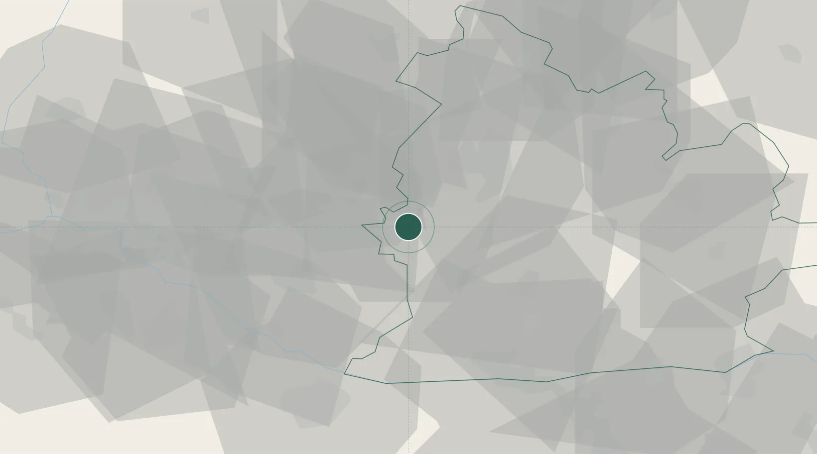
Place type
Provincial seat
Region
Nitra Region
Population
20,239
Time zone
Europe/Bratislava
Elevation
114 m
Location
Nearby Logistics Neighbours
Cities
- 1Sala13 km
- 2Galanta14 km
- 3Vlcany15 km
- 4Mojmírovce16 km
- 5Tomásikovo16 km
Ports
- 1Bakar407 km
- 2Rijeka Luka409 km
- 3Omisalj414 km
- 4Trieste419 km
- 5Senj419 km
Airports
- 1M. R. Štefánik Airport50 km
- 2Piešťany Airport53 km
- 3Győr-Pér Airport58 km
- 4Malacky/Kuchyňa Air Base63 km
- 5Vienna International Airport98 km
Trade Zones
DatabookThe Record of Consolidated Knowledge
Slovakia beyond logistics?