Transport Functions
Port
Rail
Road
Hub Profile
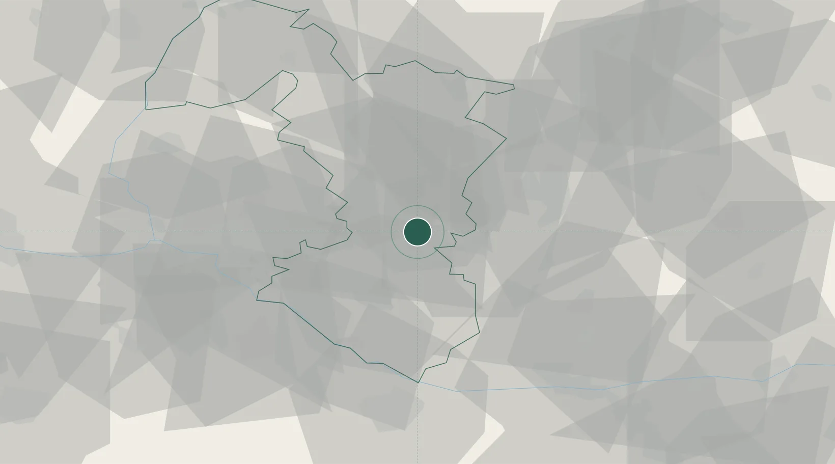
Place type
Populated place
Region
Trnava Region
Population
15,277
Time zone
Europe/Bratislava
Elevation
119 m
Location
Nearby Logistics Neighbours
Cities
- 1Sládkovicovo5 km
- 2Dolna Streda8 km
- 3Tomásikovo13 km
- 4Sala14 km
- 5Voderady15 km
Ports
- 1Bakar403 km
- 2Rijeka Luka405 km
- 3Omisalj410 km
- 4Trieste414 km
- 5Monfalcone415 km
Airports
- 1M. R. Štefánik Airport38 km
- 2Piešťany Airport48 km
- 3Malacky/Kuchyňa Air Base50 km
- 4Győr-Pér Airport64 km
- 5Vienna International Airport86 km
Trade Zones
DatabookThe Record of Consolidated Knowledge
Slovakia beyond logistics?