UN/LOCODE hub · Slovakia
SKBPB
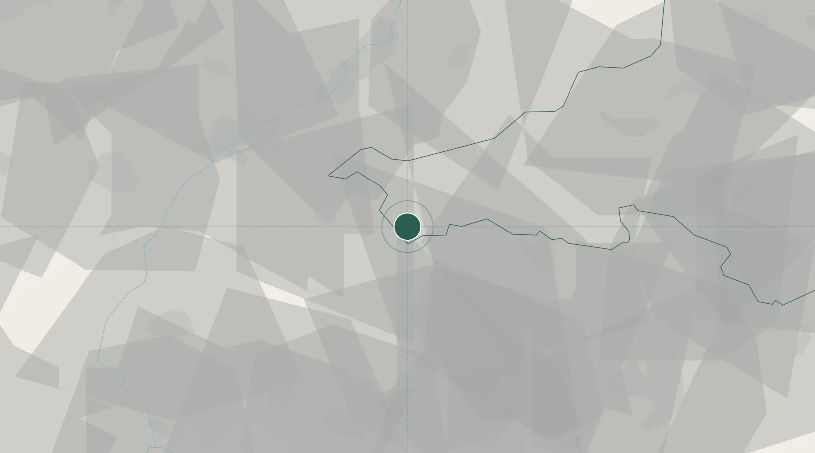
Brezova pod Bradlom
48.6667°, 17.5333°
4,632
Population
1
Transport functions
Transport Functions
Multimodal
Hub Profile
Place type
Populated place
Region
Trenčín Region
Population
4,632
Time zone
Europe/Bratislava
Elevation
259 m
Location
Nearby Logistics Neighbours
Cities
- 1Jablonica11 km
- 2Stará Turá18 km
- 3Dojc20 km
- 4Boleráz24 km
- 5Bosáca29 km
Ports
- 1Bakar438 km
- 2Rijeka Luka439 km
- 3Monfalcone440 km
- 4Trieste441 km
- 5Muggia444 km
Airports
- 1Piešťany Airport22 km
- 2Kunovice Airport41 km
- 3Malacky/Kuchyňa Air Base42 km
- 4M. R. Štefánik Airport60 km
- 5Brno-Tuřany Airport82 km
Trade Zones
DatabookThe Record of Consolidated Knowledge
Slovakia beyond logistics?