Transport Functions
Road
Multimodal
Hub Profile
Place type
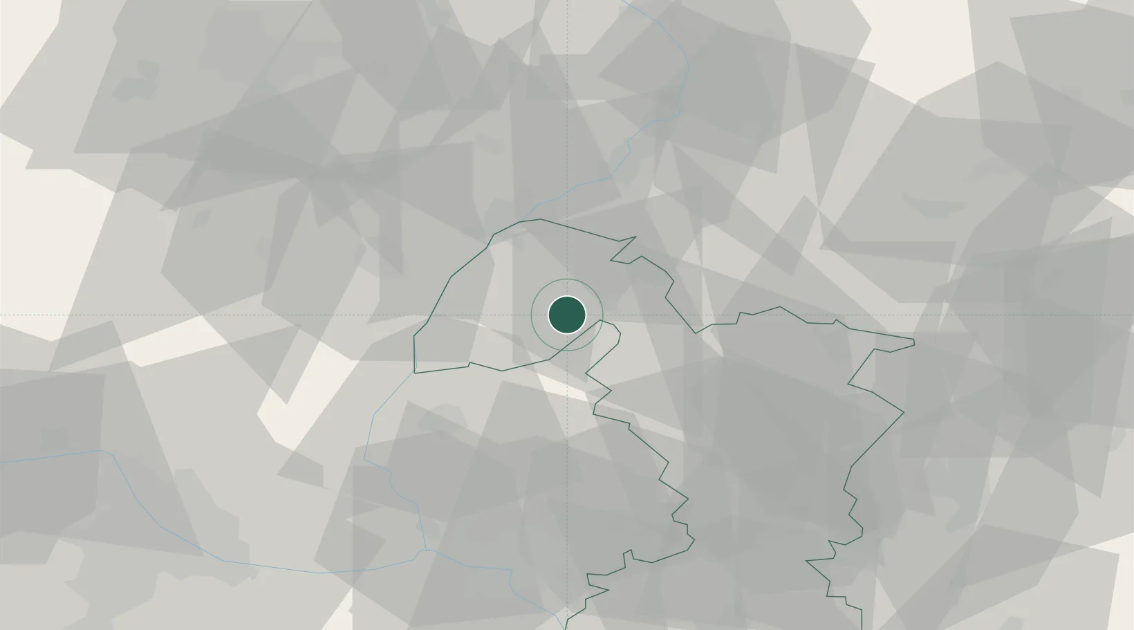
Populated place
Region
Trnava Region
Population
1,299
Time zone
Europe/Bratislava
Elevation
183 m
Location
Nearby Logistics Neighbours
Cities
- 1Gbely11 km
- 2Jablonica13 km
- 3Holíc17 km
- 4Kúty18 km
- 5Brezova pod Bradlom20 km
Ports
- 1Monfalcone426 km
- 2Bakar428 km
- 3Trieste428 km
- 4Rijeka Luka428 km
- 5Muggia432 km
Airports
- 1Malacky/Kuchyňa Air Base31 km
- 2Piešťany Airport42 km
- 3Kunovice Airport42 km
- 4M. R. Štefánik Airport55 km
- 5Brno-Tuřany Airport68 km
Trade Zones
DatabookThe Record of Consolidated Knowledge
Slovakia beyond logistics?