Transport Functions
Multimodal
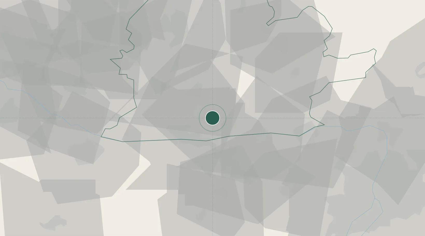
Hub Profile
Place type
Populated place
Region
Nitra Region
Population
1,623
Time zone
Europe/Bratislava
Elevation
134 m
Location
Nearby Logistics Neighbours
Cities
- 1Martovce11 km
- 2Strekov12 km
- 3Neszmély18 km
- 4Svodin18 km
- 5Almásfüzitó19 km
Ports
- 1Bakar404 km
- 2Rijeka Luka406 km
- 3Omisalj409 km
- 4Senj412 km
- 5Zaliv Rasa449 km
Airports
- 1Győr-Pér Airport44 km
- 2Tököl Airport79 km
- 3M. R. Štefánik Airport85 km
- 4Budapest Liszt Ferenc International Airport89 km
- 5Piešťany Airport90 km
Trade Zones
DatabookThe Record of Consolidated Knowledge
Slovakia beyond logistics?