Transport Functions
Port
Rail
Road
Hub Profile
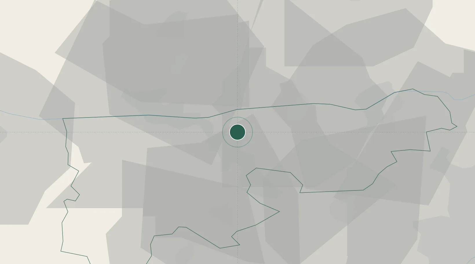
Place type
Populated place
Region
Komárom-Esztergom
Population
1,480
Time zone
Europe/Budapest
Elevation
112 m
Location
Nearby Logistics Neighbours
Cities
- 1Almásfüzitó7 km
- 2Lábatlan13 km
- 3Mocsa14 km
- 4Komárom18 km
- 5Dulovce18 km
Ports
- 1Bakar397 km
- 2Rijeka Luka400 km
- 3Omisalj402 km
- 4Senj403 km
- 5Zaliv Rasa443 km
Airports
- 1Győr-Pér Airport42 km
- 2Tököl Airport63 km
- 3Budapest Liszt Ferenc International Airport76 km
- 4M. R. Štefánik Airport99 km
- 5Piešťany Airport108 km
Trade Zones
- 1Göd Special Economic Zone61 km
- 2Veselí nad Moravou Industrial Zone155 km
- 3Holešov Industrial Zone189 km
- 4Černovická Terasa Industrial Zone204 km
- 5Subotica Free Zone207 km
DatabookThe Record of Consolidated Knowledge
Hungary beyond logistics?