Transport Functions
Rail
Road
Hub Profile
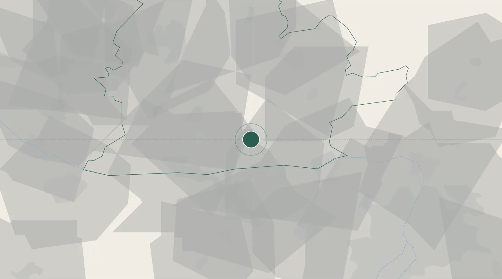
Place type
Populated place
Region
Nitra Region
Population
1,926
Time zone
Europe/Bratislava
Elevation
129 m
Location
Nearby Logistics Neighbours
Cities
- 1Svodin7 km
- 2Dulovce12 km
- 3Lábatlan18 km
- 4Plave Vozokany19 km
- 5Neszmély21 km
Ports
- 1Bakar414 km
- 2Rijeka Luka417 km
- 3Omisalj420 km
- 4Senj422 km
- 5Zaliv Rasa460 km
Airports
- 1Győr-Pér Airport55 km
- 2Tököl Airport75 km
- 3Budapest Liszt Ferenc International Airport82 km
- 4Piešťany Airport92 km
- 5M. R. Štefánik Airport94 km
Trade Zones
DatabookThe Record of Consolidated Knowledge
Slovakia beyond logistics?