Transport Functions
Port
Road
Hub Profile
Place type
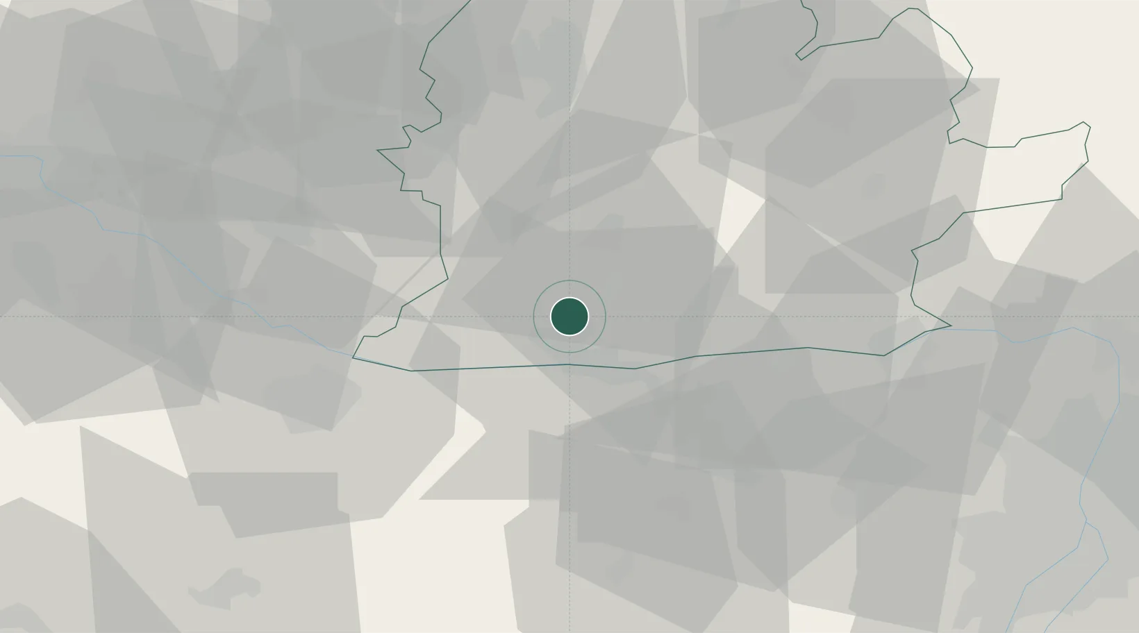
Populated place
Region
Nitra Region
Time zone
Europe/Bratislava
Elevation
108 m
Location
Nearby Logistics Neighbours
Cities
- 1Nova Straz11 km
- 2Dulovce11 km
- 3Kolárovo11 km
- 4Komárom13 km
- 5Acs18 km
Ports
- 1Bakar394 km
- 2Rijeka Luka397 km
- 3Omisalj400 km
- 4Senj403 km
- 5Zaliv Rasa439 km
Airports
- 1Győr-Pér Airport34 km
- 2M. R. Štefánik Airport76 km
- 3Tököl Airport86 km
- 4Piešťany Airport89 km
- 5Malacky/Kuchyňa Air Base96 km
Trade Zones
DatabookThe Record of Consolidated Knowledge
Slovakia beyond logistics?