Transport Functions
Multimodal
Hub Profile
Place type
Populated place
Region
Nitra Region
Population
2,372
Time zone
Europe/Bratislava
Elevation
202 m
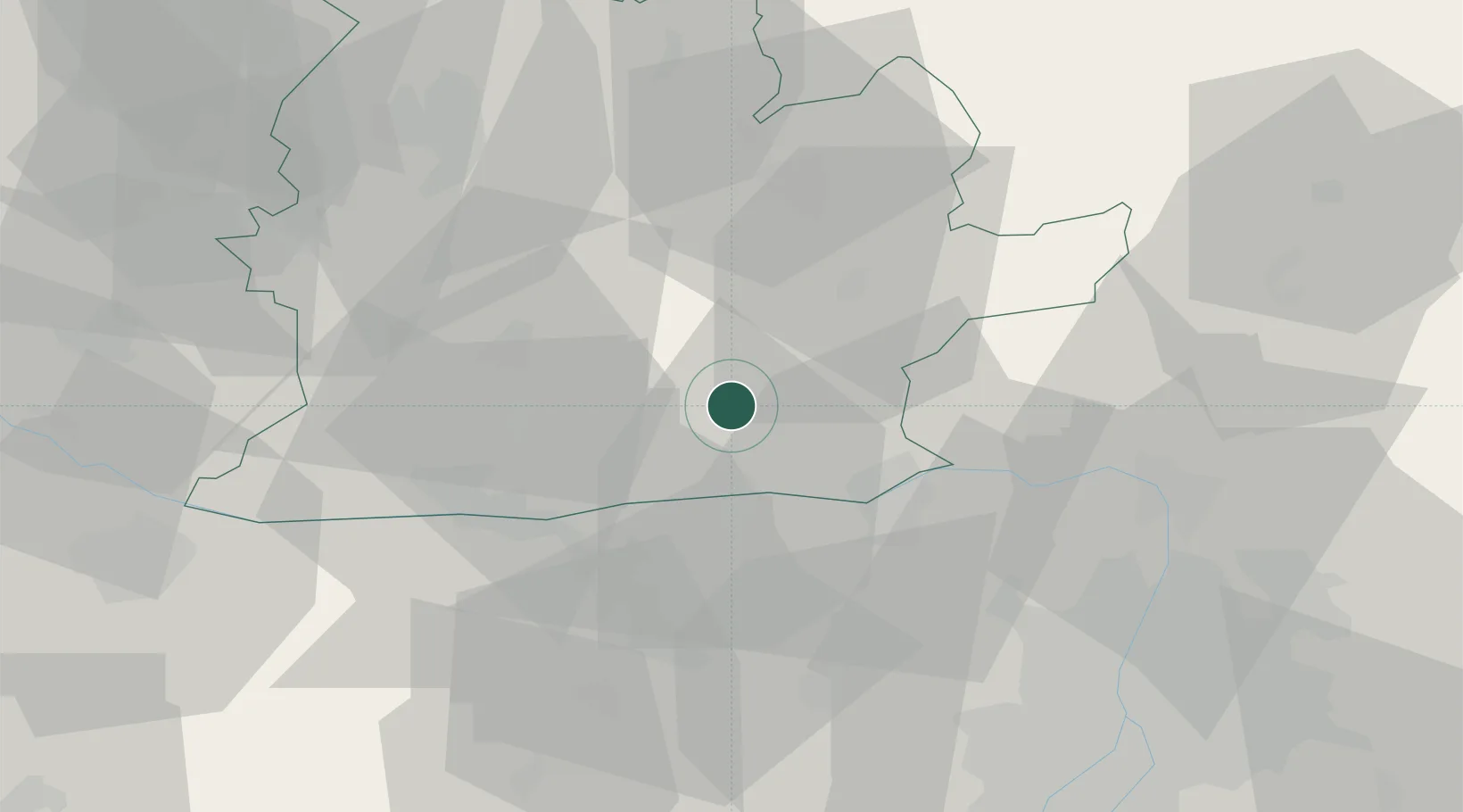
Location
Nearby Logistics Neighbours
Cities
- 1Strekov7 km
- 2Plave Vozokany17 km
- 3Dulovce18 km
- 4Lábatlan19 km
- 5Stúrovo22 km
Ports
- 1Bakar420 km
- 2Rijeka Luka423 km
- 3Omisalj426 km
- 4Senj427 km
- 5Zaliv Rasa466 km
Airports
- 1Győr-Pér Airport61 km
- 2Tököl Airport73 km
- 3Budapest Liszt Ferenc International Airport79 km
- 4Sliač Airport93 km
- 5Piešťany Airport93 km
Trade Zones
DatabookThe Record of Consolidated Knowledge
Slovakia beyond logistics?