Transport Functions
Port
Rail
Road
Hub Profile
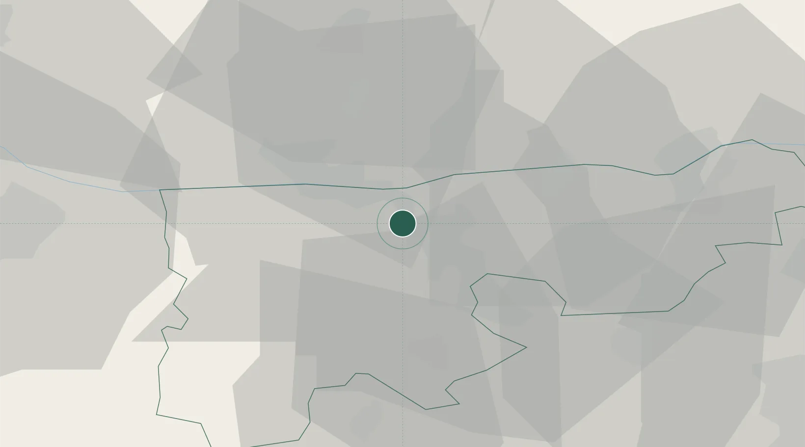
Place type
Populated place
Region
Komárom-Esztergom
Population
2,348
Time zone
Europe/Budapest
Elevation
112 m
Location
Nearby Logistics Neighbours
Cities
- 1Neszmély7 km
- 2Mocsa7 km
- 3Komárom12 km
- 4Nagyigmánd16 km
- 5Környe17 km
Ports
- 1Bakar391 km
- 2Rijeka Luka394 km
- 3Omisalj397 km
- 4Senj398 km
- 5Zaliv Rasa437 km
Airports
- 1Győr-Pér Airport36 km
- 2Tököl Airport67 km
- 3Budapest Liszt Ferenc International Airport81 km
- 4M. R. Štefánik Airport94 km
- 5Piešťany Airport108 km
Trade Zones
- 1Göd Special Economic Zone68 km
- 2Veselí nad Moravou Industrial Zone154 km
- 3Holešov Industrial Zone189 km
- 4Černovická Terasa Industrial Zone202 km
- 5Subotica Free Zone208 km
DatabookThe Record of Consolidated Knowledge
Hungary beyond logistics?