Transport Functions
Port
Rail
Road
Hub Profile
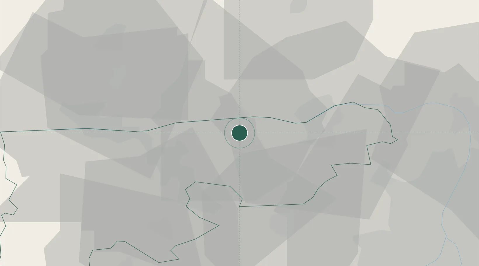
Place type
Populated place
Region
Komárom-Esztergom
Population
5,357
Time zone
Europe/Budapest
Elevation
143 m
Location
Nearby Logistics Neighbours
Ports
- 1Bakar409 km
- 2Rijeka Luka412 km
- 3Omisalj414 km
- 4Senj414 km
- 5Zaliv Rasa454 km
Airports
- 1Győr-Pér Airport55 km
- 2Tököl Airport57 km
- 3Budapest Liszt Ferenc International Airport66 km
- 4M. R. Štefánik Airport108 km
- 5Sliač Airport109 km
Trade Zones
- 1Göd Special Economic Zone49 km
- 2Veselí nad Moravou Industrial Zone158 km
- 3Holešov Industrial Zone190 km
- 4Subotica Free Zone205 km
- 5Černovická Terasa Industrial Zone209 km
DatabookThe Record of Consolidated Knowledge
Hungary beyond logistics?