Transport Functions
Multimodal
Hub Profile
Place type
Populated place
Region
Nitra Region
Time zone
Europe/Bratislava
Elevation
174 m
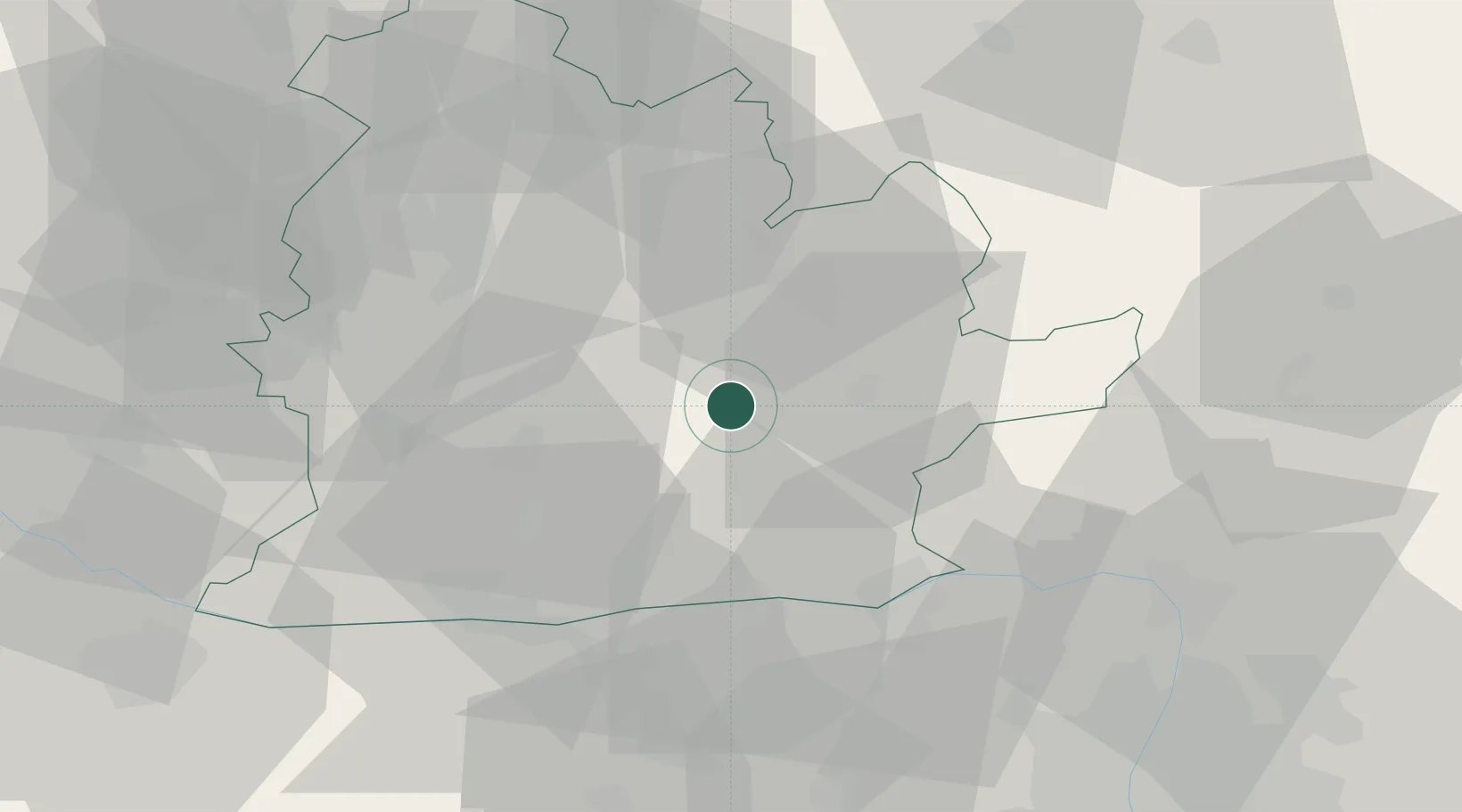
Location
Nearby Logistics Neighbours
Ports
- 1Bakar431 km
- 2Rijeka Luka433 km
- 3Omisalj437 km
- 4Senj439 km
- 5Trieste449 km
Airports
- 1Győr-Pér Airport70 km
- 2Piešťany Airport79 km
- 3Sliač Airport80 km
- 4Tököl Airport88 km
- 5Budapest Liszt Ferenc International Airport92 km
Trade Zones
DatabookThe Record of Consolidated Knowledge
Slovakia beyond logistics?