Transport Functions
Rail
Road
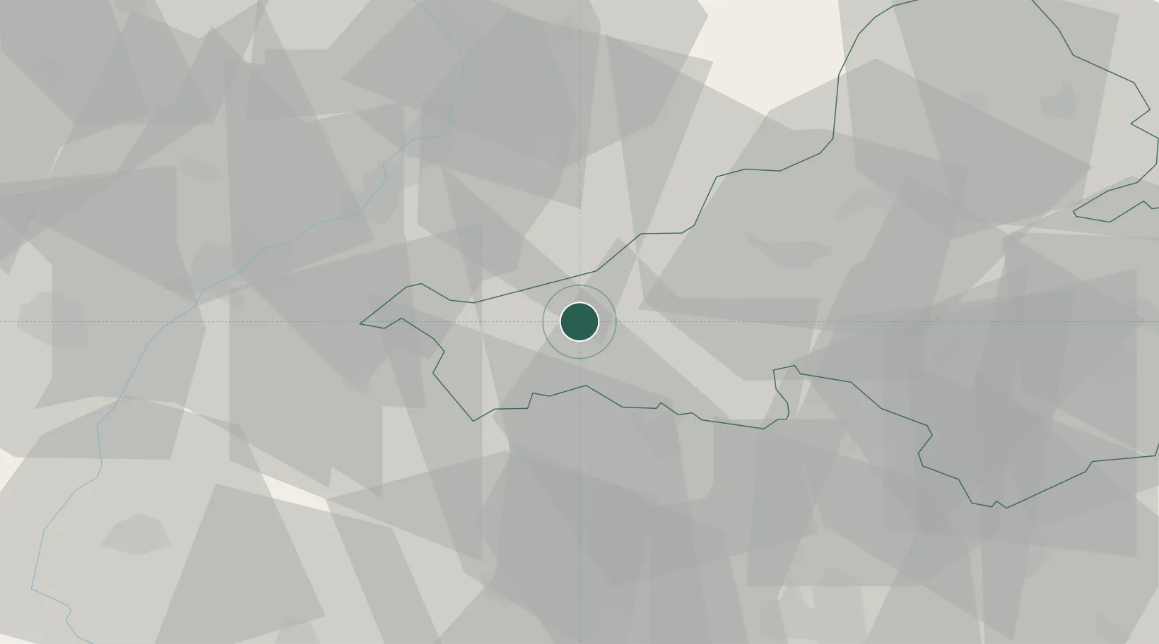
Hub Profile
Place type
Populated place
Region
Trenčín Region
Population
8,432
Time zone
Europe/Bratislava
Elevation
279 m
Location
Nearby Logistics Neighbours
Cities
- 1Bosáca11 km
- 2Brezova pod Bradlom18 km
- 3Borsice19 km
- 4Nivnice21 km
- 5Vel'Ke Bierovce22 km
Ports
- 1Bakar456 km
- 2Rijeka Luka456 km
- 3Monfalcone457 km
- 4Trieste459 km
- 5Muggia462 km
Airports
- 1Piešťany Airport20 km
- 2Kunovice Airport33 km
- 3Malacky/Kuchyňa Air Base60 km
- 4Přerov Air Base75 km
- 5M. R. Štefánik Airport77 km
Trade Zones
DatabookThe Record of Consolidated Knowledge
Slovakia beyond logistics?