Transport Functions
Multimodal
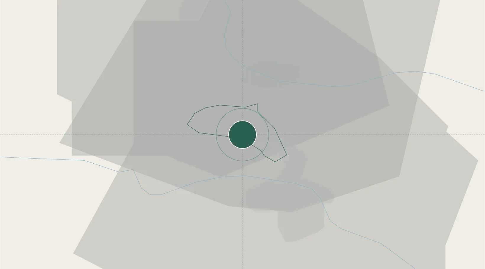
Hub Profile
Place type
Regional capital
Region
Kungota
Population
535
Time zone
Europe/Ljubljana
Elevation
273 m
Location
Nearby Logistics Neighbours
Cities
- 1Cersak8 km
- 2Spielfeld8 km
- 3Gamlitz10 km
- 4Bistrica ob Dravi10 km
- 5Leutschach11 km
Ports
- 1Bakar170 km
- 2Rijeka Luka170 km
- 3Omisalj177 km
- 4Trieste180 km
- 5Muggia182 km
Airports
- 1Maribor Edvard Rusjan Airport18 km
- 2Graz Airport42 km
- 3Cerklje ob Krki Air Base82 km
- 4Hinterstoisser Air Base91 km
- 5Klagenfurt Airport96 km
Trade Zones
- 1Krapina-Zagorje Free Zone58 km
- 2Sjever Free Zone68 km
- 3PJ Free Zone Zagreb95 km
- 4Free Zone Kukuljanovo167 km
- 5Free Port of Trieste180 km
DatabookThe Record of Consolidated Knowledge
Slovenia beyond logistics?