Transport Functions
Port
Multimodal
Hub Profile
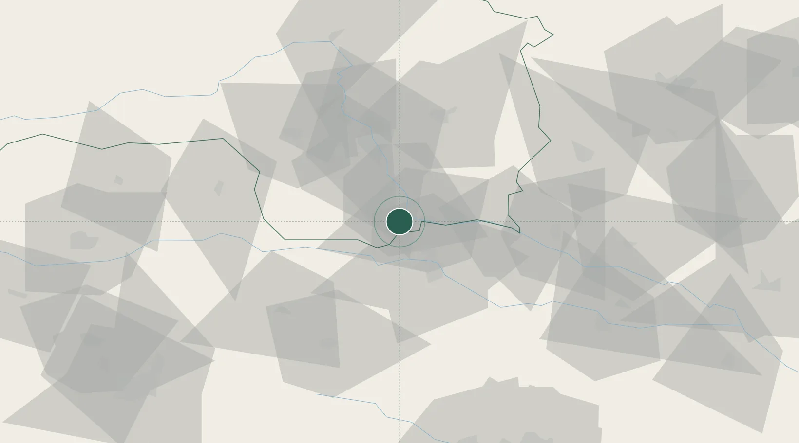
Place type
District seat
Region
Styria
Population
1,572
Time zone
Europe/Vienna
Elevation
279 m
Location
Nearby Logistics Neighbours
Cities
- 1Wagna4 km
- 2Spielfeld7 km
- 3Leutschach8 km
- 4Cersak10 km
- 5Zgornja Kungota10 km
Ports
- 1Bakar176 km
- 2Rijeka Luka176 km
- 3Trieste183 km
- 4Omisalj184 km
- 5Muggia185 km
Airports
- 1Maribor Edvard Rusjan Airport28 km
- 2Graz Airport32 km
- 3Hinterstoisser Air Base82 km
- 4Cerklje ob Krki Air Base91 km
- 5Klagenfurt Airport93 km
Trade Zones
- 1Krapina-Zagorje Free Zone68 km
- 2Sjever Free Zone77 km
- 3PJ Free Zone Zagreb105 km
- 4Free Zone Kukuljanovo173 km
- 5Free Port of Trieste183 km
DatabookThe Record of Consolidated Knowledge
Austria beyond logistics?